
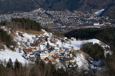
Bürserberg, municipality in Bludenz District, Vorarlberg, Austria
Location: Bludenz District
Elevation above the sea: 871 m
Website: http://buerserberg.at
GPS coordinates: 47.14333,9.77611
Latest update: March 8, 2025 17:29
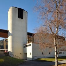
Parish Church Maria Queen of Peace
2.5 km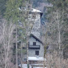
Burg Rosenegg
2.2 km
Mariä Himmelfahrt, Brand
5.3 km
Pfarrkirche Bürserberg
262 m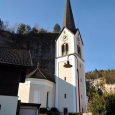
Pfarrkirche hl. Martin (Bürs)
2.1 km
Naturpark Golf Club Brand
3.6 km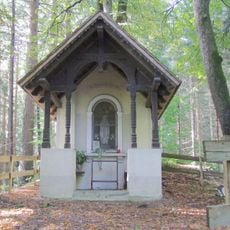
Bürs Marienkapelle
1.9 km
Kapelle, hl. Anna - Lourdeskapelle
3.2 km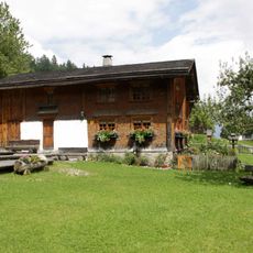
Bauernhof (Anlage), Paarhof Buacher - Heimatmuseum
428 m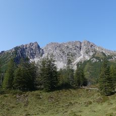
Alpilakopf
5.1 km
Spial (Buers)
1.2 km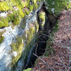
Buerser Schrunden
1.1 km
Peterstein (Buers)
902 m
Chapel Saint Wolfgang
1.3 km
Spinnerei Lünersee
2.7 km
Wasenspitze
3.8 km
Volksschule Brand
5.2 km
Buerser Schlucht
1 km
Pfarrhof
5.3 km
Hangender Stein
3.8 km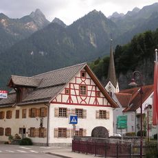
Wohnhaus
2.2 km
Alte Säge
4.5 km
Altes Schulhaus
5.3 km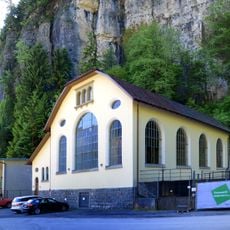
Kraftwerk Alvierwerk I, Kraftwerksgebäude und maschinelle Einrichtung
1.9 km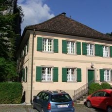
Bürs Pfarrhof
2.1 km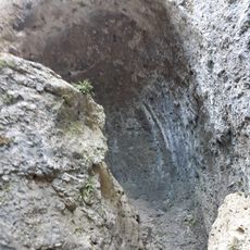
Kuhloch
1.5 km
Court oak Ludesch
3.9 km
Taleu
2.7 kmReviews
Visited this place? Tap the stars to rate it and share your experience / photos with the community! Try now! You can cancel it anytime.
Discover hidden gems everywhere you go!
From secret cafés to breathtaking viewpoints, skip the crowded tourist spots and find places that match your style. Our app makes it easy with voice search, smart filtering, route optimization, and insider tips from travelers worldwide. Download now for the complete mobile experience.

A unique approach to discovering new places❞
— Le Figaro
All the places worth exploring❞
— France Info
A tailor-made excursion in just a few clicks❞
— 20 Minutes