Bludenz District, Administrative district in Vorarlberg, Austria
Description
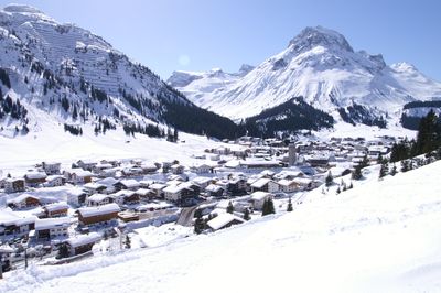
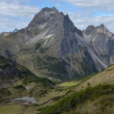
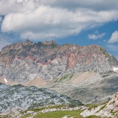
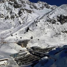
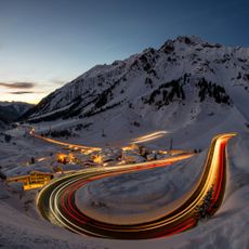
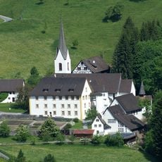
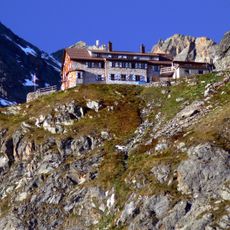
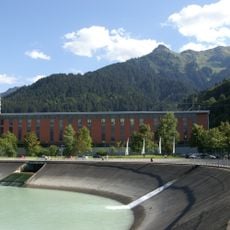
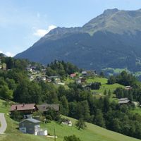
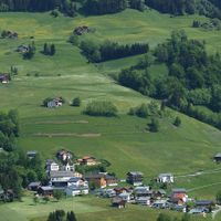
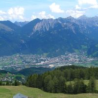
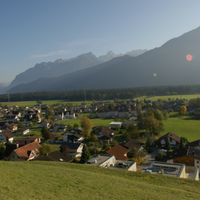
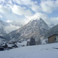
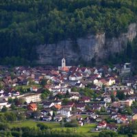
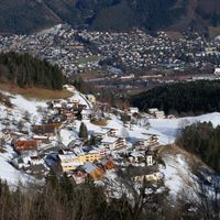
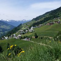
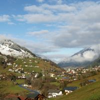
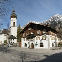
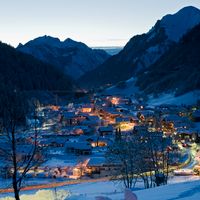
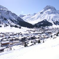
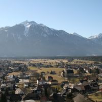
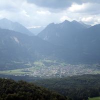
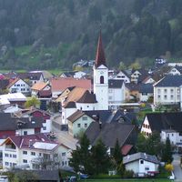
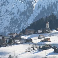
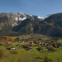
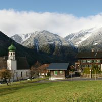
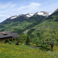
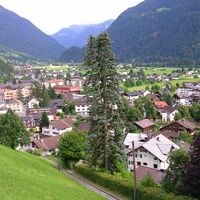
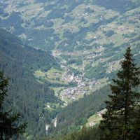
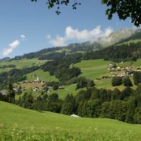
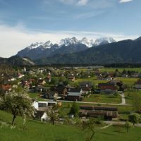
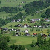
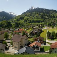
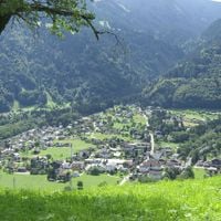
Bludenz District covers mountainous terrain in Vorarlberg and encompasses multiple municipalities with the town of Bludenz as its administrative center. The area combines river valleys with mountain landscapes, offering a mix of populated lowlands and alpine elevations.
History
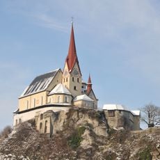
The area has been inhabited since the Bronze Age, as archaeological evidence shows, and developed continuously over thousands of years. Bludenz District took its current form during medieval times and has remained an administrative unit ever since.
Culture
The district keeps Austrian traditions alive through regular festivals and markets where residents gather and showcase local crafts. Visitors can taste regional specialties and see how people here weave customs into everyday life.
Practical
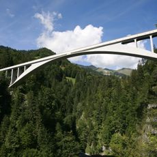
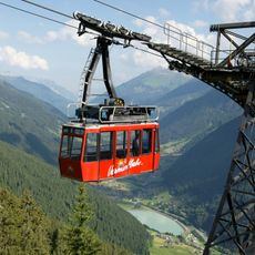
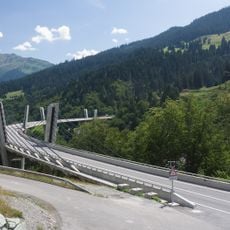
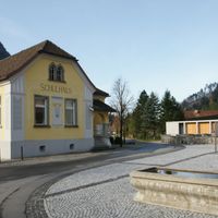
The region is well connected by roads and railway stations, making it easy to move between different places. Those exploring here will find reliable connections for getting around the various municipalities.
Did you know?
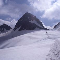
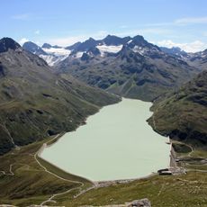
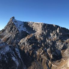
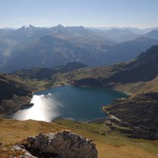
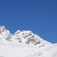
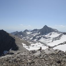
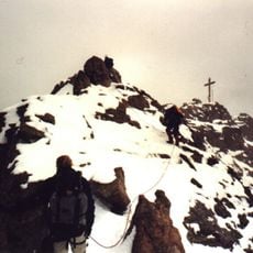
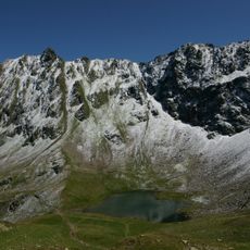
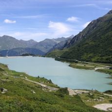
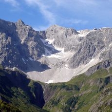
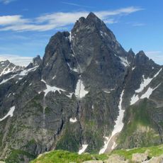
The area lies at a junction of different landscapes and connects the Ill River valley with the snow-capped peaks of two major mountain ranges. This geographic variety lets visitors experience completely different settings within a short distance.
AroundUs brings together thousands of curated places, local tips, and hidden gems, enriched daily by 60,000 contributors worldwide. Discover all places nearby (Vorarlberg).
Piz Buin
33 km
Schesaplana
15.5 km
Boundary Stone 147
28.3 km
Silvretta Reservoir
26 km
Großer Widderstein
26.9 km
Rote Wand
11.6 km
Salginatobel Bridge
19.1 km
Valluga
24.6 km
Sulzfluh
10.7 km
Zimba
8.5 km
Parish Church Maria Queen of Peace
9.3 km
Spullersee
15.6 km
Ski Arlberg
24.6 km
Vermuntbahn
19.3 km
Arlbergstraße
23.7 km
Vallugabahn
24.6 km
Brandner Glacier
15.8 km
Sunniberg Bridge
24.1 km
Dreiländerspitze
33.4 km
Liebfrauenbergkirche
27.1 km
Hochjoch
7.8 km
Lünerseebahn
11.6 km
Vermunt Stausee
21.8 km
Benediktinerpropstei Sankt Gerold
14.6 km
Saarbrücker Hütte
24.7 km
Braunarlspitze
19 km
Lünerseewerk
3.5 km
Patteriol
22.7 km
Gemeinde Bartholomäberg
Blons
Bludenz
Gemeinde Bludesch
Brand
Bürs
Bürserberg
Gemeinde Dalaas
Gemeinde Fontanella
Gaschurn
Innerbraz
Klösterle
Lech
Gemeinde Lorüns
Gemeinde Ludesch
Marktgemeinde Nenzing
Gemeinde Nüziders
Gemeinde Raggal
Sankt Anton im Montafon
Gemeinde Sankt Gallenkirch
Gemeinde Sankt Gerold
Schruns
Silbertal
Gemeinde Sonntag
Gemeinde Stallehr
Thüringen
Gemeinde Thüringerberg
Gemeinde Tschagguns
Vandans
Discover hidden gems everywhere you go!
From secret cafés to breathtaking viewpoints, skip the crowded tourist spots and find places that match your style. Our app makes it easy with voice search, smart filtering, route optimization, and insider tips from travelers worldwide. Download now for the complete mobile experience.
A unique approach to discovering new places❞
— Le Figaro
All the places worth exploring❞
— France Info
A tailor-made excursion in just a few clicks❞
— 20 Minutes