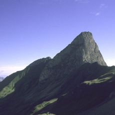
Valluga, Mountain summit in Arlberg region, Austria
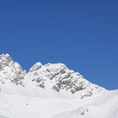
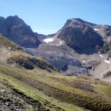
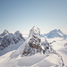
Valluga is a mountain summit in the Arlberg region that rises to 2,809 meters and marks the boundary between the Austrian states of Tyrol and Vorarlberg. The peak features steep rocky terrain and offers expansive views across multiple Alpine mountain chains from the top.
The first recorded ascent of Valluga took place in 1877 when Andreas Madlener reached the summit, marking the beginning of a new mountaineering era in the Arlberg region. This achievement made the peak an important destination for climbers and helped shape the growth of alpine sports in the area.
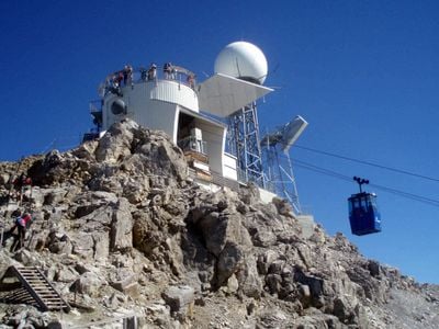
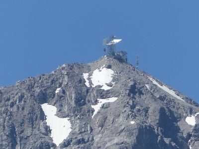
The summit station includes a weather radar system installed in 2007, providing meteorological data for the entire Vorarlberg region throughout the year.
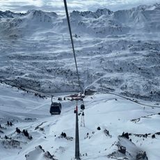
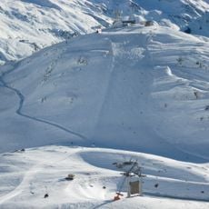
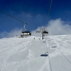
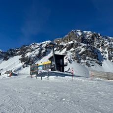
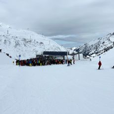
Three cable cars in succession transport visitors from St. Anton to the summit, with the final segment requiring just two minutes. The upper section can be steep and may close during bad weather, so visitors should expect changing conditions at higher elevations.
From the viewing platform at Valluga, visitors can see four different mountain ranges: the Lechtal Alps, the Allgäu Alps, the Verwall Mountains, and the Swiss region of Graubünden. This unusual perspective allows people to take in multiple Alpine regions in a single view and understand the geographical connection between Austria and Switzerland.
The community of curious travelers
AroundUs brings together thousands of curated places, local tips, and hidden gems, enriched daily by 60,000 contributors worldwide.