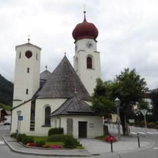
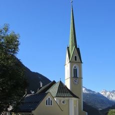
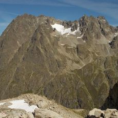
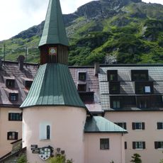
Sankt Anton am Arlberg, Alpine municipality in Tyrol, Austria
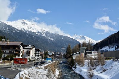
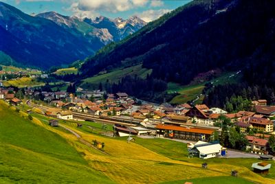
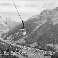
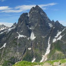
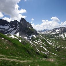
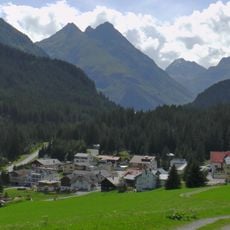
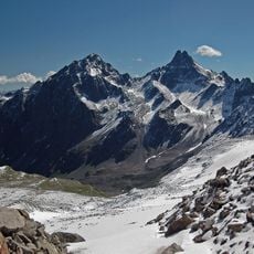
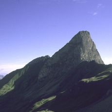
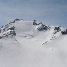
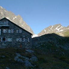
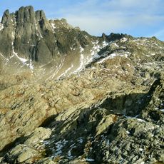
Sankt Anton am Arlberg is a mountain town in the Austrian Alps with steep valleys and high peaks surrounding it on all sides. The settlement sits along the Rosanna River at approximately 1,300 meters elevation, nestled in a landscape of dense forests and rocky terrain.
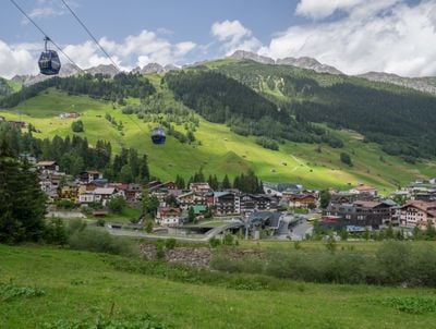
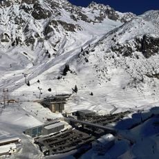
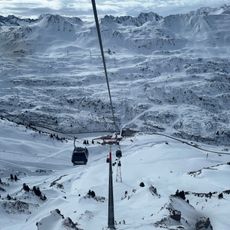
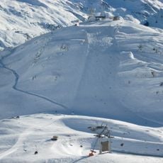
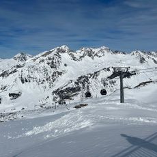
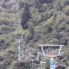
The region became known internationally in the 1930s when local ski instructors brought their Alpine techniques to the United States and established ski schools there. This connection opened the door to winter sports tourism and transformed the valley into a destination.
The local government organizes educational programs and workshops focused on regional traditions, environmental protection, and sustainable tourism practices throughout the year.
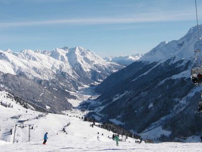
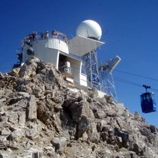
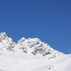
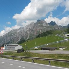
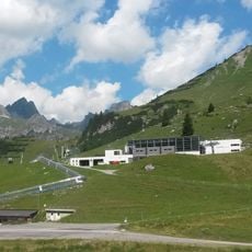
The town is accessible via mountain roads, with clear routes to slopes and hiking trails available throughout the year. Weather conditions can change rapidly at this elevation, so visitors should prepare accordingly for outdoor activities.
The area received the Best Tourism Village award in 2023 for its careful balance between welcoming visitors and protecting the local environment. This recognition reflects a commitment to sustainable practices that benefit both residents and guests.
The community of curious travelers
AroundUs brings together thousands of curated places, local tips, and hidden gems, enriched daily by 60,000 contributors worldwide.