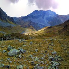
Pflunspitzen, Mountain peak in Verwall Group, Austria
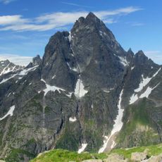
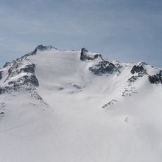
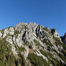
The Pflunspitzen form the highest massif in the western Verwall Group, reaching 2,912 m. The summit block is divided into the south top (2,869 m), the fore top, the main summit (2,912 m) and the north top. The border between Tirol and Vorarlberg runs over the peaks, and the municipal boundaries of Klösterle, Silbertal and St. Anton am Arlberg meet on the south top.
The Pflunspitzen lie on the state border between Tirol and Vorarlberg, which runs over the peaks and on to the Kaltenberg. The municipal boundaries of Klösterle, Silbertal and St. Anton am Arlberg meet on the South Pflunspitze (2,869 m). The main summit reaches 2,912 m, and the summit block also includes a fore top and a north top.
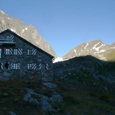
The peaks are reached from two Alpine Club huts: the Neue Reutlinger Hütte and the Konstanzer Hütte. The easiest ascent, grade I, runs from the Reutlinger Hut over the Südscharte to the south top (2,869 m). Climbers also know the Via Katrin (grades III to VI), which climbs the west face to the main summit.
Climbers can access the summit through different routes departing from the Reutlinger Hut, with difficulty levels ranging from I to VI depending on the path chosen. Selecting the right route requires honest assessment of personal climbing ability and experience.
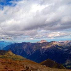
From the summit, the view reaches the Dom, 206 km away, and the Bernese Alps; only the Schesaplana is higher in the sector from southwest through north to northeast. The south top is where the municipal boundaries of Klösterle, Silbertal and St. Anton am Arlberg meet.
The community of curious travelers
AroundUs brings together thousands of curated places, local tips, and hidden gems, enriched daily by 94,358 contributors worldwide.