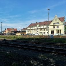
Vorarlberg, Federal territory in western Austria
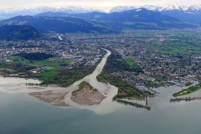
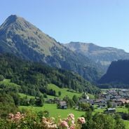
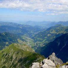
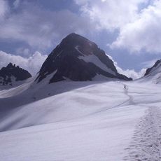
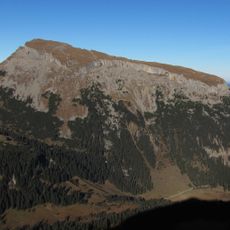
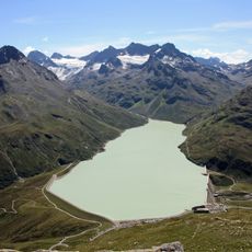
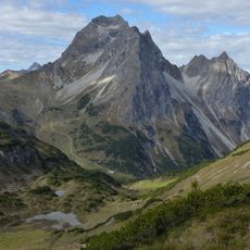
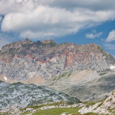
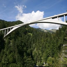
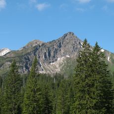
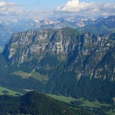
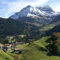
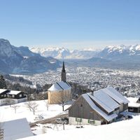
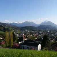
This federal territory extends between Lake Constance and the Alps across mountain chains and valleys, divided into four administrative districts with Bregenz as its capital. The Rhine Valley forms the main transport corridor, while the high mountain landscape of the Arlberg rises to the east.
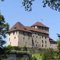
The name arose from the location in front of the Arlberg Pass, and the area has formed a continuous territory under Habsburg rule since 1523. After World War I, it became part of the new Austrian Republic as a federal state in 1918.
Residents speak Alemannic dialects that show close ties to neighboring German-speaking areas of Switzerland and southwestern Germany. This linguistic connection shapes everyday life and sets the territory apart from the rest of Austria.
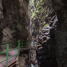
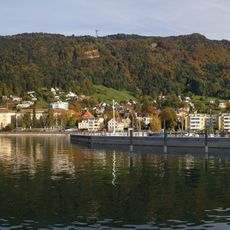
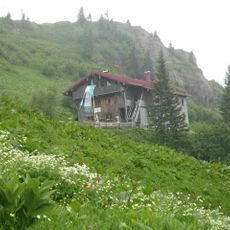
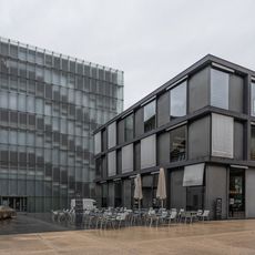
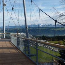
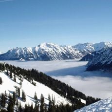
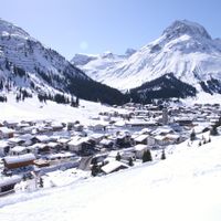
The territory offers numerous winter sports locations in the mountains, while industrial sites concentrate along the Rhine Valley near Lake Constance. Public transport connects the valleys and serves higher-altitude communities.
A referendum in 1919 showed 81 percent of voters supporting union with Switzerland. International circumstances and hesitation from Swiss cantons prevented the realization of this outcome.
The community of curious travelers
AroundUs brings together thousands of curated places, local tips, and hidden gems, enriched daily by 60,000 contributors worldwide.