Hoher Ifen, Alpine summit in Allgäu Alps, Austria and Germany
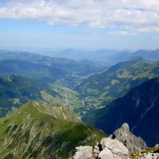
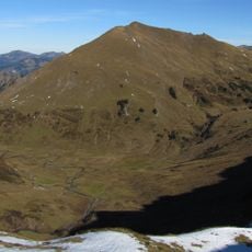
The Hoher Ifen is a 2,230 m high table mountain in the Allgäu Alps, west of the Kleinwalsertal, on the border between Austria and Germany. Its summit is the highest point of the gently tilted Ifen plateau, which drops vertically for several hundred metres to the northwest. To the northeast the plateau continues into the Gottesacker karst landscape.
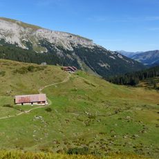
In 1998 the amateur archaeologist Detlef Willand found a Stone Age dwelling on the Schneiderkürenalpe, at about 1,500 m on the eastern slope of the massif. It was excavated with guidance from the University of Innsbruck. The site is not Neolithic but Stone Age, and it lies on the alp below the summit, not at the top.
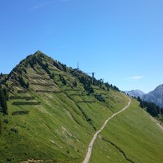
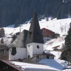
The south faces below the plateau and at the Bärenköpfe are among the best sport climbing areas in the Alps, nicknamed the "Céüse of the Allgäu" after the French crag. The name Ifen is also used for the ski area on the mountain's slopes, whose lifts date from the early 1970s.
Two main routes lead to the summit: the eastern path via Ifenhütte or the western approach through Schwarzwasserhütte. The climb requires good fitness and proper mountain gear, though experienced hikers can manage both routes.
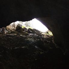
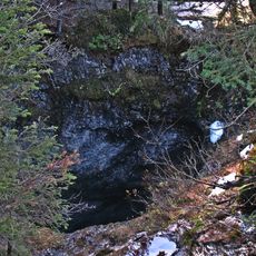
The plateau to the northeast features a large karst system with numerous caves including Hölloch im Mahdtal and Schneckenloch. This underground network makes the area a draw for cave explorers and geology enthusiasts.
The community of curious travelers
AroundUs brings together thousands of curated places, local tips, and hidden gems, enriched daily by 92,894 contributors worldwide.