Oberstdorf, Mountain resort town in Bavarian Alps, Germany.
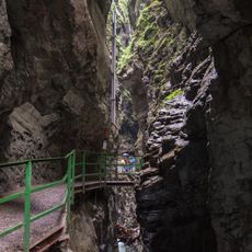
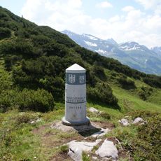
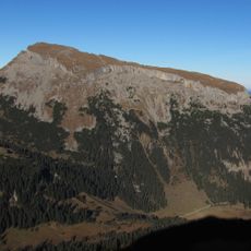
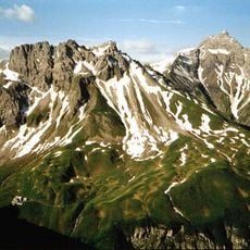
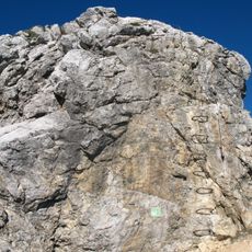
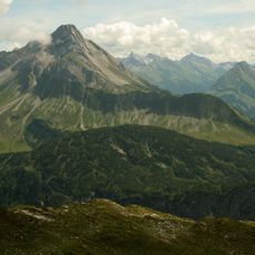
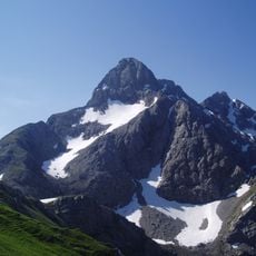
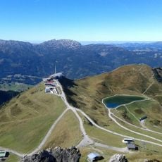
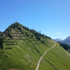
Oberstdorf is a market town in the Oberallgäu district of Bavaria, positioned at 813 meters elevation across seven valleys surrounded by the peaks of the Allgäu Alps. The settlement comprises several districts and provides access to hiking trails, ski slopes and mountain summits reached by cable cars.
The first written record dates from 1141, while market rights were granted in 1495. Over the centuries, the settlement evolved from a mountain village into a recognized health resort with therapeutic climatic properties.
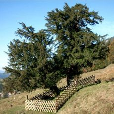
The name refers to its position above the valley floor, while wooden houses with wide balconies and painted facades still shape the townscape today. In the center, locals gather at the weekly market, where regional products and crafts bring mountain life into everyday experience.
Hiking trails are best accessible from June through October in summer, while the winter season from December to March opens ski slopes and cross-country tracks. Mountain railways operate on varying schedules depending on the season, with some routes accessible only in suitable weather conditions.
As the southernmost municipality in Germany, the town sits closer to Venice than to Hamburg. The Heini-Klopfer ski flying hill ranks among the largest jumping facilities worldwide and regularly hosts international competitions.
The community of curious travelers
AroundUs brings together thousands of curated places, local tips, and hidden gems, enriched daily by 60,000 contributors worldwide.