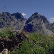
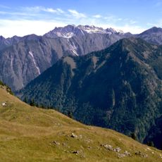
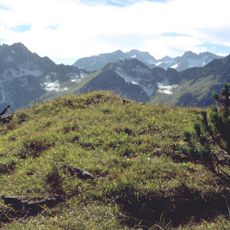
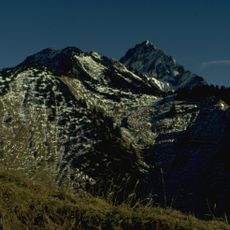
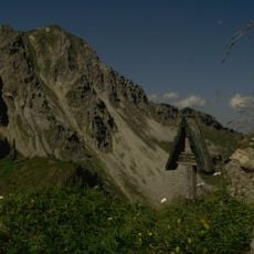
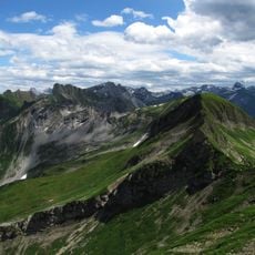
Höfats, Mountain summit in Allgäu Alps, Bavaria, Germany.
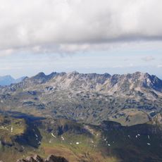
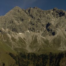
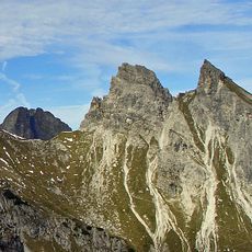
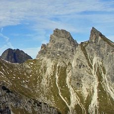
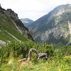
Höfats is a mountain in the Allgäu Alps standing at 2,259 meters with four narrow peaks grouped in two pairs. A wind gap at 2,207 meters separates the two pairs of summits.
The sources document no 1848 Sendtner ascent; the mountain's recorded history is one of names and mapping. Until the 19th century the peaks were named from Gerstruben's side: Vorderer Gipfel (west), Nebengipfel (second) and Hinterer Gipfel (east). The first Alpine Club map "Allgäuer Alpen West" of 1906 introduced the names Westgipfel, Zweiter Gipfel and Ostgipfel.
The name Höfats comes from the Oberstdorf dialect and is explained as Höchatz, "high pasture", from the centuries when Gerstruben villagers grazed goats on the lower slopes. Until the 19th century the peaks were named from Gerstruben's viewpoint: Vorderer, Neben- and Hinterer Gipfel. The 1906 Alpine Club map introduced Westgipfel, Zweiter Gipfel and Ostgipfel.
Climbers need advanced skills to navigate steep faces and exposed ridges, particularly the north face which drops almost vertically. Proper footwear and experience in alpine climbing are essential.
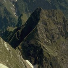
The Höfatsnadel is a rock pinnacle below the foot of the second summit's north face, which drops vertically in places to the Rauher Hals. The mountain is built of grey Aptychen limestone from the younger Jurassic period. The four summits were once likened to a Gothic cathedral for their slender, soaring lines.
The community of curious travelers
AroundUs brings together thousands of curated places, local tips, and hidden gems, enriched daily by 93,585 contributors worldwide.