Hahnenkopf, Mountain summit in Bavaria, Germany.
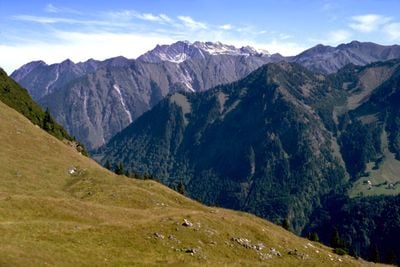
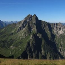
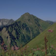
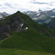
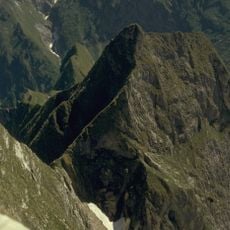
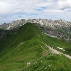
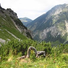
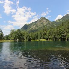
Hahnenkopf is a mountain summit in the Allgäu Alps that rises to approximately 1,736 meters and features exposed rock formations that stand out against the surrounding landscape. Its steep topography and exposed position make it a striking landmark in the southern Bavarian Alpine region.
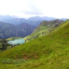
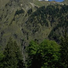
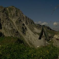
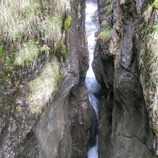
The paths around this peak developed in the 19th century when local shepherds created routes for moving livestock between seasonal pastures. These historic trails were maintained across generations and continue to serve as hiking routes for visitors today.
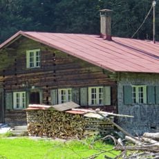
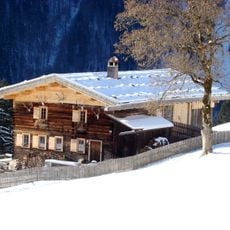
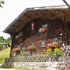
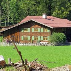
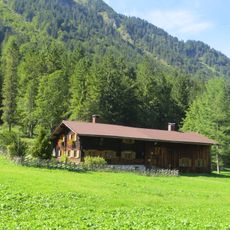
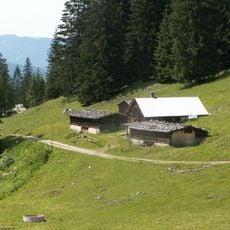
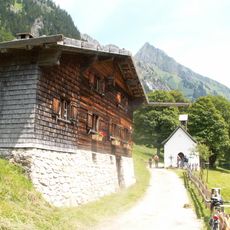
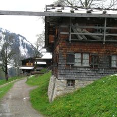
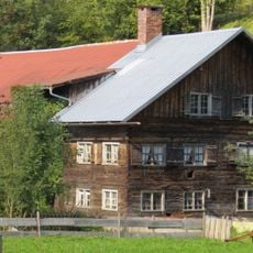
The area around this peak reflects traditional Alpine farming that has shaped the landscape for generations. Visitors can see the rural villages and farms that define how people live and work in this mountain region.
The hike to the summit begins at Mühlenbrücke bridge and is well marked, with most visitors planning several hours for the climb and descent. Sturdy footwear and weather protection are important, as mountain conditions can change quickly at this elevation.
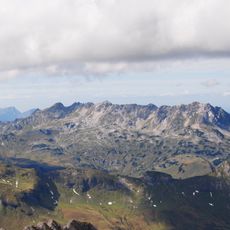
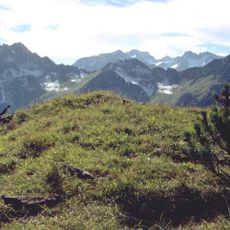
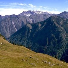
From the summit, visitors can see multiple Alpine valleys converging at once, with hiking routes passing through mountain meadows that contain rare and protected plant species. This botanical diversity makes the location particularly interesting for nature observers.
The community of curious travelers
AroundUs brings together thousands of curated places, local tips, and hidden gems, enriched daily by 60,000 contributors worldwide.