Allgäuer Hochalpen, Nature reserve in Oberstdorf, Germany.
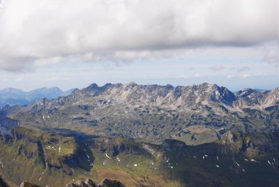
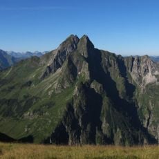
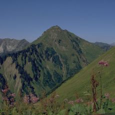
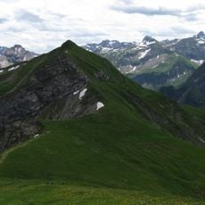
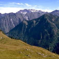
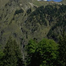
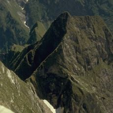
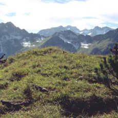
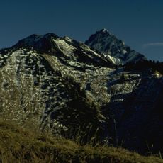
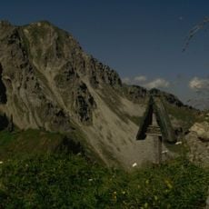
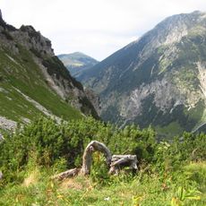
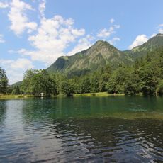
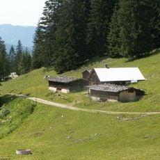
Allgäuer Hochalpen is a protected mountain reserve spanning roughly 207 square kilometers across steep ridges, alpine slopes, and varied terrain. The landscape transitions from dense forests at lower elevations to open grasslands and rocky peaks higher up.
The area received protected status in 1992, becoming one of the largest nature reserves in the Swabian highlands. This designation was a key step in preserving the mountain landscape and its ecosystems.
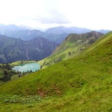
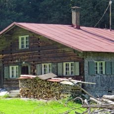
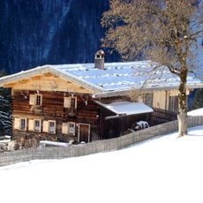
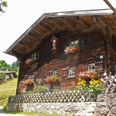
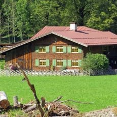
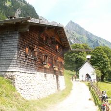
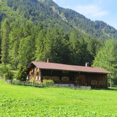
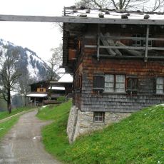
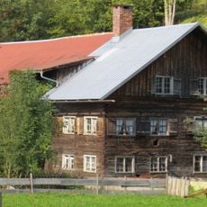
The area is shaped by farmers who practice alpine grazing, keeping meadows open and maintaining the pastoral landscape visitors see today. This traditional land use has created the open slopes and grasslands that define the region.
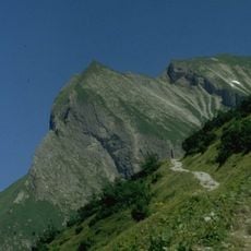
The reserve is accessible from three gateway towns: Oberstdorf, Bad Hindelang, and Sonthofen, each offering marked trails of varying difficulty. The main hiking season runs from spring through autumn when higher trails are snow-free.
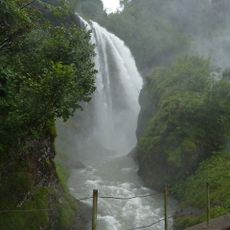
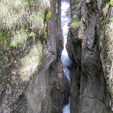
Higher elevations here receive some of the heaviest rainfall in Germany, around 3000 millimeters annually, creating unusually wet mountain conditions. This moisture supports an unexpectedly rich plant life with rare alpine species adapted to such wet environments.
The community of curious travelers
AroundUs brings together thousands of curated places, local tips, and hidden gems, enriched daily by 60,000 contributors worldwide.