Biberkopf, Mountain peak in Allgäu Alps, Germany and Austria
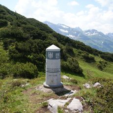
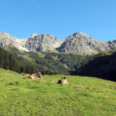
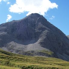
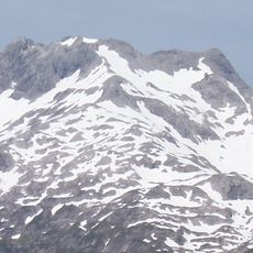
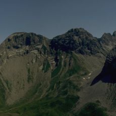
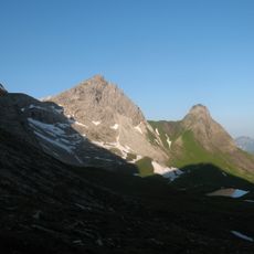
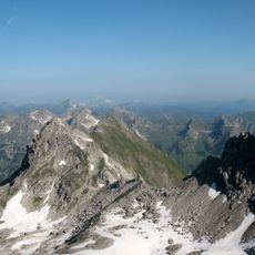
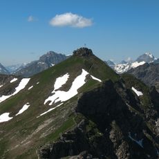
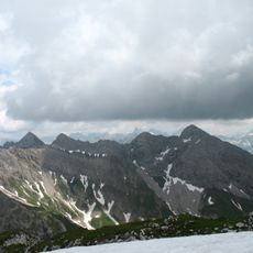
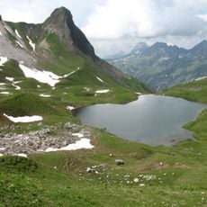
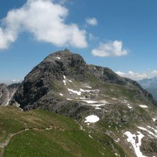
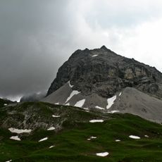
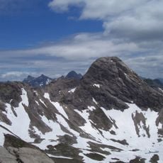
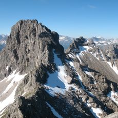
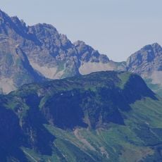
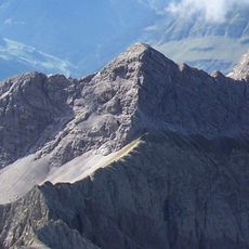
The Biberkopf is a 2,599-metre summit on the main crest of the Allgäu Alps, on the border between Bavaria and Tyrol. Its peak is built of intensely folded dolomite of the Lechtal Nappe thrust over marl of the Allgäu Nappe. The pure dolomite leaves the upper slopes bare, while the marl below supports rich flora.
The first documented ascent of the south face occurred in 1922 when Hermann Grosselfinger established a route that mountaineers still follow today. Since then, this path has become a classic in alpine climbing and continues to draw experienced climbers each year.
The name means "beaver's head", after the mountain's shape. The summit cross was erected in wood in 1959 by the Obergünzburg branch of the German Alpine Club (DAV), which also maintains the routes, and was renewed in 1994. The south face was first climbed in 1922 by the Allgäu alpinist Hermann Grosselfinger.
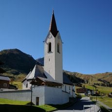
The climb from the valley huts typically takes between 2.5 to 3 hours to reach the summit, depending on the route and weather conditions. Sturdy footwear and climbing experience are necessary since the routes cross exposed rock sections that demand secure footing.
The Biberkopf is often called the southernmost point of Bavaria and Germany, but its summit actually lies 110 metres further north than the Haldenwanger Eck, which is 4,088 metres to the west. The wooden summit cross was erected in 1959 by the Obergünzburg branch of the German Alpine Club and renewed in 1994.
The community of curious travelers
AroundUs brings together thousands of curated places, local tips, and hidden gems, enriched daily by 93,746 contributors worldwide.