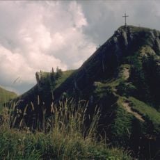
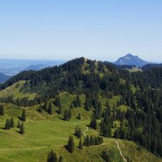
Riedberger Horn, Mountain summit in Allgäu region, Bavaria, Germany.
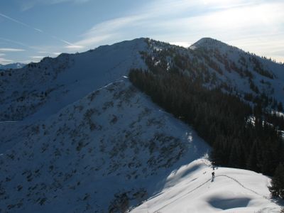
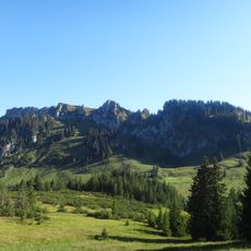
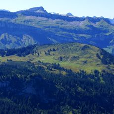
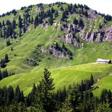
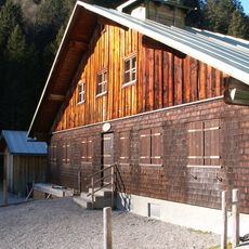
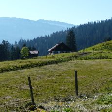
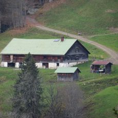
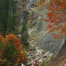
Riedberger Horn is a mountain summit in the Allgäu region with an elevation of 1787 meters and multiple marked trails ascending from the valley. The paths traverse varied alpine terrain with shelters positioned at key points to provide rest and refreshments during the climb.
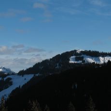
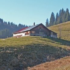
The mountain became established as a winter sports destination in the late 19th century as local skiing activities grew in the region. This tradition has persisted over the decades, making it a recognized location for winter sports enthusiasts in Bavaria.
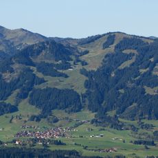
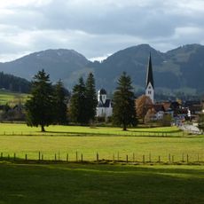
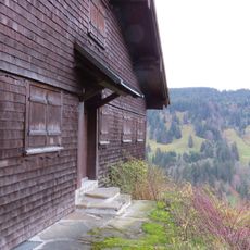
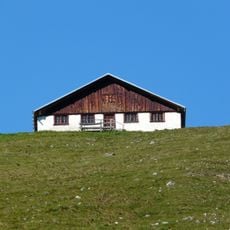
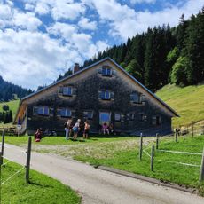
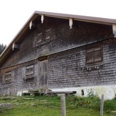
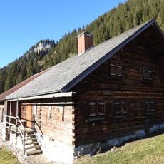
The mountain serves as a gathering place for people from the surrounding region, especially during the winter months when locals and visitors share the slopes. Local mountain culture is visible in the huts and rest areas, where traditional food and regional beverages are part of the experience.
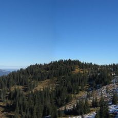
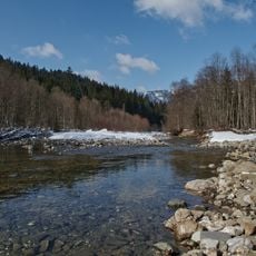
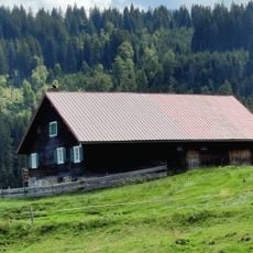
The trails are well marked and offer different difficulty levels depending on fitness and experience. Weather cameras positioned along the routes help with planning, and hiking is best done outside the winter season.
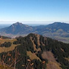
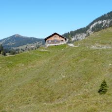
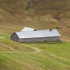
A single extended trail connects three separate peaks including Bolgen and Grauenstein alongside this summit. This route allows hikers to explore multiple elevations in one outing and experience different perspectives of the surrounding mountain landscape.
The community of curious travelers
AroundUs brings together thousands of curated places, local tips, and hidden gems, enriched daily by 60,000 contributors worldwide.