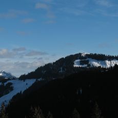
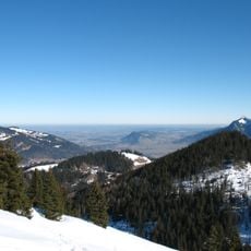
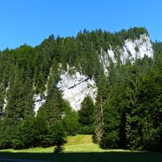
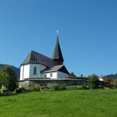
Wannenkopf, Mountain summit in Oberallgäu, Germany.
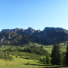
The Wannenkopf is a 1712 m high mountain in the Hörnergruppe of the Allgäu Alps, located in Bavaria's Oberallgäu district. It is the highest point of the Bolgen massif. The Riedbergpass road passes about 1.8 km to the southwest, and the Riedberger Horn rises to the west as the higher neighbour.
The Wannenkopf has no documented historical events; its recorded geography is limited to its 1712 m summit, the highest point of the Bolgen massif. The Riedbergpass road, about 1.8 km to the southwest, connects Hittisau in Vorarlberg with Fischen im Allgäu. The mountain's slopes drain north into the Bolgenach and south into the Schönberger Ach, both source streams of the Weiler Ach.
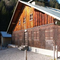
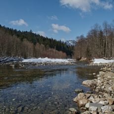
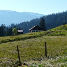
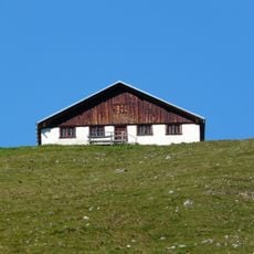
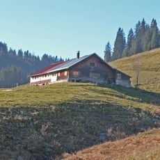
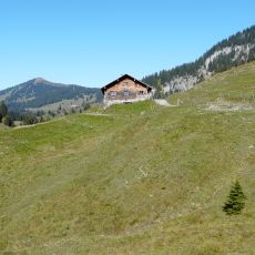
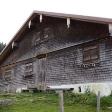
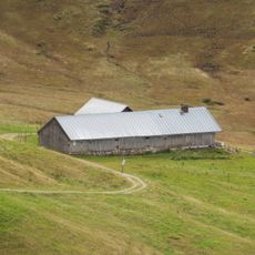
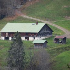
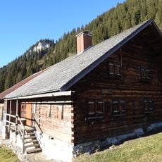
The Wannenkopf is the highest point of the Bolgen massif, and its slopes are grazed as alpine pasture: the Grasgehrenalpe lies on the route up from the Riedberg Pass, and the Obere Bolgenalpe (1367 m) sits in the Bolgenach valley to the north. Walkers pass these alps on the way to the summit.
The usual route starts at the Riedberg Pass (1,420 m) and leads over the Grasgehrenalpe; the Obere Bolgenalpe (1,367 m) lies north in the Bolgenach valley. The summit reaches 1,712 m, with a prominence of at least 112 m and a dominance of 2.2 km relative to the Riedberger Horn. Allow enough time for the climb and check conditions before setting out.
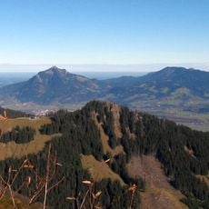
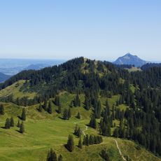
On clear days you can spot peaks across both German and Austrian territory from the summit, revealing how the mountain straddles the border region. This cross-border view is often a highlight visitors do not expect.
The community of curious travelers
AroundUs brings together thousands of curated places, local tips, and hidden gems, enriched daily by 94,644 contributors worldwide.