Enable Location

We need your location to show you interesting places around you

Discover nearby places

Find interesting locations and hidden gems around you

Precise directions

Get accurate directions and distances to places

Your location is never shared with other users. It's only used when you tap the location button.

Weiher Kopf

Log in to your account

Start exploring — it's free

Trusted by 62,463 travelers worldwide

Continue with Google
Continue with Apple
or

We will send you a code to connect

By continuing, you accept our Terms and Conditions and our Privacy Policy

Check your inbox

We've sent a pincode in your inbox. Please enter the code below.

Weiher Kopf

Weiher Kopf, Mountain summit in Allgäu Alps, Bavaria, Germany

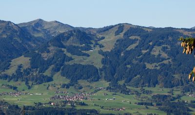
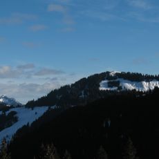
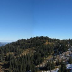
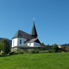
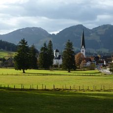
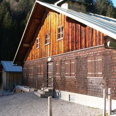
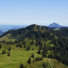
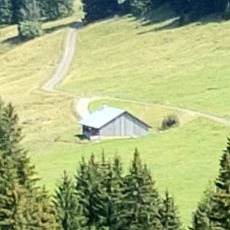
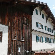
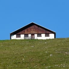
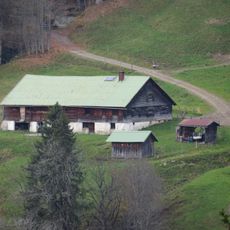
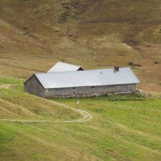
Weiher Kopf rises to 1,665 meters (5,463 ft) within the Nagelfluhkette Nature Park and features meadows on one side and forest on the other. The varied landscape across its slopes makes this summit a diverse walking destination.

The mountain's name appeared on 18th-century maps as Veier before changing to Weiher Kopf in topographical records after 1940. This name change reflects how knowledge and mapping of the landscape shifted over time.

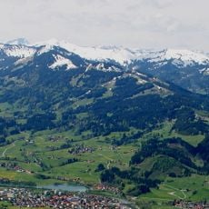
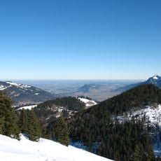
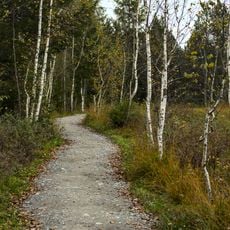
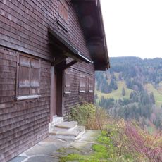
The walking routes connect to the Allgäu Hörner Tour, a network of trails that shows how much Alpine hiking means to people in this region. Visitors follow the same paths that generations of locals have walked.

The Hörnerbahn gondola lift from Bolsterlang transports visitors to a middle station at 1,350 meters (4,429 ft), providing easy access to walking routes. Trails are well-marked from this point and suit different fitness levels.

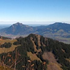
The summit area serves as a launch point for paragliders throughout the year and includes FIS-certified downhill skiing routes in winter. This mix of sports activities makes it appealing to visitors with different interests.

The community of curious travelers

AroundUs brings together thousands of curated places, local tips, and hidden gems, enriched daily by 60,000 contributors worldwide.

Start exploring
Location
Elevation above the sea
1,665 m
GPS coordinates
47.46518,10.20110
Latest update
December 14, 2025 18:08
« Weiher Kopf - Mountain summit in Allgäu Alps, Bavaria, Germany » is provided by Around Us (aroundus.com). Images and texts are derived from Wikimedia project under a Creative Commons license. You are allowed to copy, distribute, and modify copies of this page, under the conditions set by the license, as long as this note is clearly visible.

Discover hidden gems everywhere you go!

From secret cafés to breathtaking viewpoints, skip the crowded tourist spots and find places that match your style. Our app makes it easy with voice search, smart filtering, route optimization, and insider tips from travelers worldwide. Download now for the complete mobile experience.

Around Us App Screenshot

A unique approach to discovering new places

Le Figaro

All the places worth exploring

France Info

A tailor-made excursion in just a few clicks

20 Minutes

Around Us
Travel Guide & Maps
Download

Send to your phone

QR Code
1

Open the camera app on your mobile.

2

Point at the QR code with your camera. A notification will appear.

3

Tap the notification to open the link.