Bolsterlanger Horn, Mountain summit in Allgäu Alps, Bavaria, Germany.
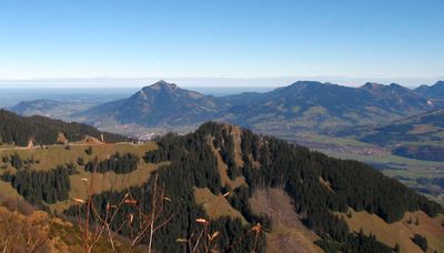
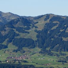
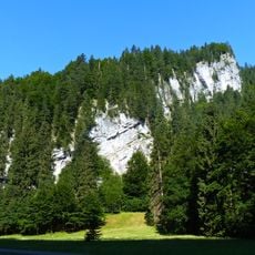
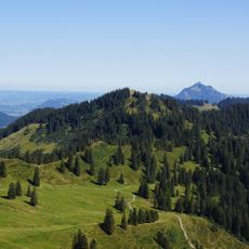
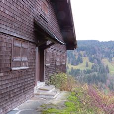
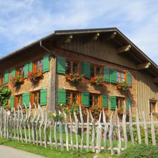
Bolsterlanger Horn is a mountain summit in the Allgäu Alps standing at 1,586 meters, marking the southernmost point of the Hörner Group. The landscape around it features gentle slopes and meadows that rise to meet the peak, with views extending across the surrounding Alpine terrain.
The peak formed during the Alpine mountain-building process millions of years ago and belongs to the flysch geological formation that characterizes the Bavarian Alps. This geological origin shaped the mountain's current form and the character of its slopes.
The 2009 installation of a reflection path to the summit creates opportunities for visitors to connect with nature through mindful walking experiences.
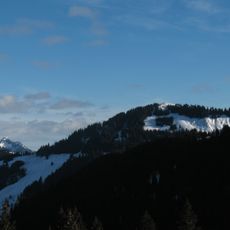
Several marked trails depart from the Hörnerbahn cable car station to reach the summit, with hiking times ranging between 30 minutes and 2 hours depending on the route chosen. Wear sturdy footwear and dress appropriately for mountain weather conditions.
At the summit stands a cross adorned with mirrors that casts reflected sunlight across the Alpine landscape, creating a visual effect visible from different viewpoints. A mindfulness path leads upward to the peak, offering hikers moments for reflection during their ascent.
The community of curious travelers
AroundUs brings together thousands of curated places, local tips, and hidden gems, enriched daily by 60,000 contributors worldwide.