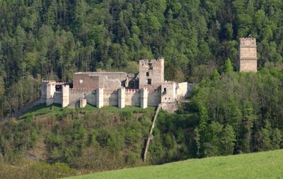
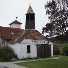
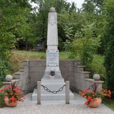
Burgruine Kirchschlag, Castle ruin in Kirchschlag in der Buckligen Welt, Austria.
Burgruine Kirchschlag is a castle ruin located on elevated terrain above the village of Kirchschlag in the Bucklige Welt region. The site comprises stone foundations and walls that once formed a fortified structure designed for medieval defense and territorial control.
The fortress originated in the 12th century as a defensive stronghold along the Lower Austrian borders. Over time it lost its military importance and eventually fell into disrepair, though its stone structures have endured to the present.
The place carries the weight of medieval traditions and reflects how people once valued fortified positions for protection and control. Visitors today encounter these stone remains as physical reminders of how societies organized defense and territorial power.
The ruins are accessible via hiking trails that start from the village below and are clearly marked throughout the walk. Visitors should wear sturdy footwear and plan to spend time on the climbing sections, as the terrain is uneven and slopes upward.
The tower section of the ruin offers views across the rolling hills that give the Bucklige Welt region its distinctive appearance. From the elevated position, the landscape reveals its characteristic wave-like pattern of slopes and valleys.
The community of curious travelers
AroundUs brings together thousands of curated places, local tips, and hidden gems, enriched daily by 60,000 contributors worldwide.