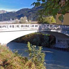
Ill, Alpine river in Bezirk Feldkirch, Austria.
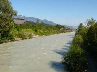
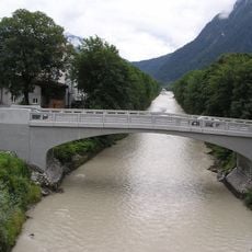
The Ill is an alpine river in Vorarlberg that originates from the northern slopes of the Silvretta mountains and flows roughly 72 kilometers northwest through the region. Its course shapes the local landscape and valleys as it eventually joins the Rhine.
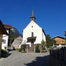
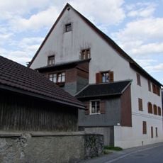
The river shaped settlement patterns in the region from medieval times onward, serving as both a water source and natural boundary for communities. Over centuries, towns and villages developed along its banks and relied on its resources.
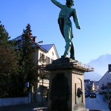
The waterway shapes how people in the region live and use the land around it for daily activities and gatherings. Visitors walking along the banks notice how communities are naturally connected through this shared geographical feature.
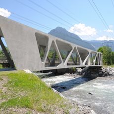
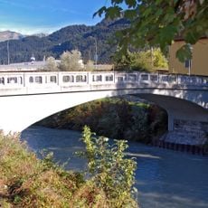
The river is best explored by walking along the paths that run beside it through the valleys and offer access at various points. The best time to walk these routes is during dry weather when the paths are safe and clear.
At the Illspitz junction, the river creates a natural border between Austria and Switzerland before joining the Rhine. This location is geographically notable as one of the few places where multiple countries and two major river systems converge.
The community of curious travelers
AroundUs brings together thousands of curated places, local tips, and hidden gems, enriched daily by 60,000 contributors worldwide.