
Brštanica, village in Neum Municipality
Location: Neum Municipality
Elevation above the sea: 252 m
GPS coordinates: 42.99670,17.77580
Latest update: March 21, 2025 18:55
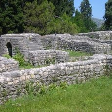
Mogorjelo
13 km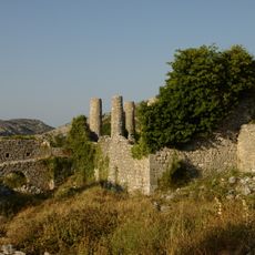
Hutovo Fortress
5.3 km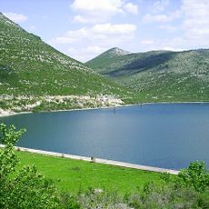
Vrutak
8.2 km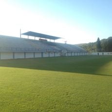
Stadium Perica-Pero Pavlović
10.5 km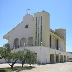
Saint Nicholas church
12.9 km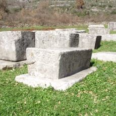
Boljuni necropolis
8.8 km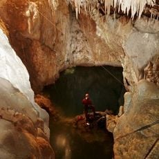
Jama u Predolcu
11.1 km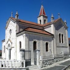
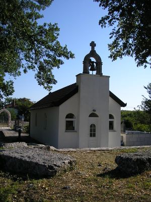
Saint Elijah church
11.9 km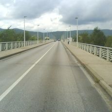
Franjo Tuđman Bridge
13.7 km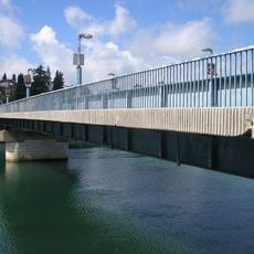
Lučki most
11.9 km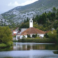
Mlinište
13 km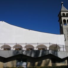
Bijeli Vir
9.8 km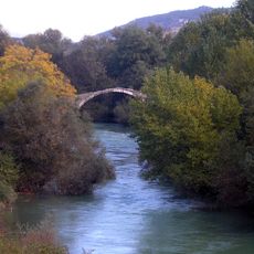
Mustaj-bey Bridge
12.3 km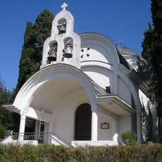
St. George Orthodox church
11.8 km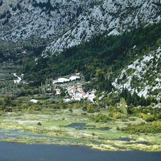
Badžula
13.9 km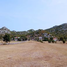
Dobranje
6.4 km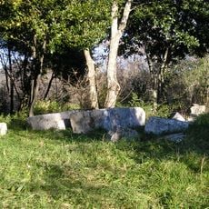
Archaeological site Vranjevo Selo
13.8 km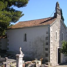
Saint John of Nepomuk church
11.6 km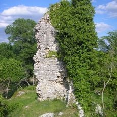
Rt kula
8.9 km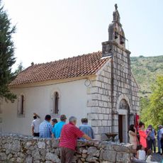
Crkva sv. Petra i Pavla u Glušcima
8.2 kmDubravica, Metković
10.4 km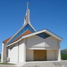
Saint Francis of Assisi church
12.8 km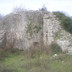
Fortress of Gabela
11.3 km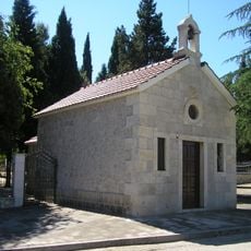
Saint Anthony of Padua church
11.1 km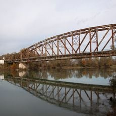
Bridge on Neretva River near Gabela
9.5 km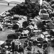
Crkva sv. Nikole Putnika u Metkoviću
12.2 km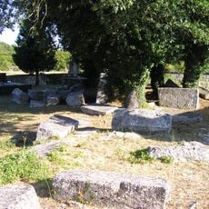
Brštanica necropolis
37 m
Crkva sv. Obitelji u Metkoviću
12 kmVisited this place? Tap the stars to rate it and share your experience / photos with the community! Try now! You can cancel it anytime.
Discover hidden gems everywhere you go!
From secret cafés to breathtaking viewpoints, skip the crowded tourist spots and find places that match your style. Our app makes it easy with voice search, smart filtering, route optimization, and insider tips from travelers worldwide. Download now for the complete mobile experience.

A unique approach to discovering new places❞
— Le Figaro
All the places worth exploring❞
— France Info
A tailor-made excursion in just a few clicks❞
— 20 Minutes