
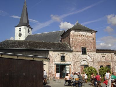
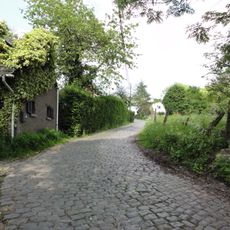
Horebeke, municipality in East Flanders, Belgium
Location: Arrondissement of Oudenaarde
Inception: January 1, 1977
Capital city: Sint-Maria-Horebeke
Elevation above the sea: 97 m
Part of: Emergency zone Flemish Ardennes, Politiezone Vlaamse Ardennen
Shares border with: Zwalm, Brakel
Phone: +3255455235
Email: info@horebeke.be
Website: https://horebeke.be
GPS coordinates: 50.83333,3.68333
Latest update: May 27, 2025 17:40
Molenberg
3.2 km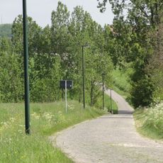
Haaghoek
2 km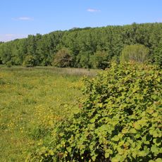
Burreken
3.2 km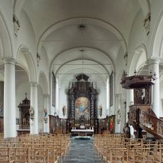
Sint-Ursmaruskerk
2.8 km
Volkegembos
2.7 km
Perlinckmolen
2.2 km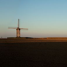
Tissenhovemolen
1.5 km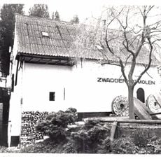
Zwadderkotmolen
2.9 km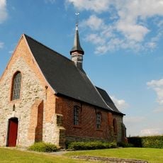
Sint-Vincentiuskapel
2.4 km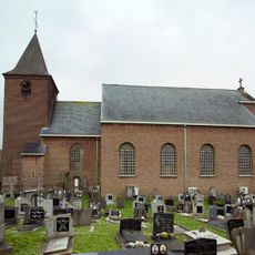
Sint-Blasiuskerk
3.3 km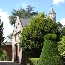
Sint-Amelbergakapel
1.8 km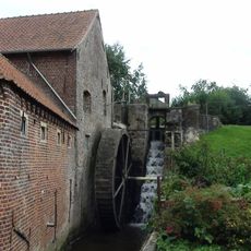
Kasteelmolen, Schorisse
3.4 km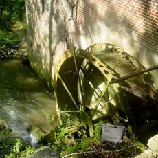
Moldergemmolen
3 km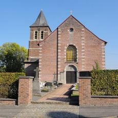
Sint-Eligiuskerk
2.8 km
Nieuwe Kerk
2.2 km
Ovenmuseum
4 km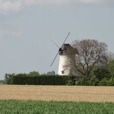
Hoogkoutermolen
965 m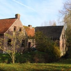
Romansmolen
2.7 km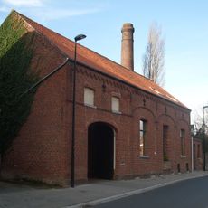
Brouwerij Merchie
3.4 km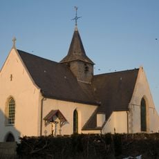
Sint-Martinuskerk
2.8 km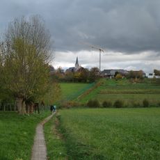
Ketse
731 m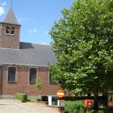
Sint-Martinuskerk
1.8 km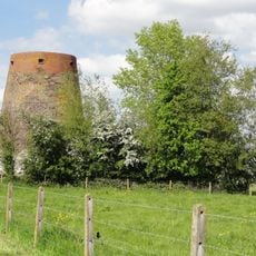
Plankeveldmolen
711 m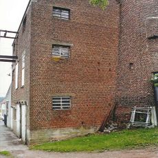
Ooievaarsmolen
4.3 km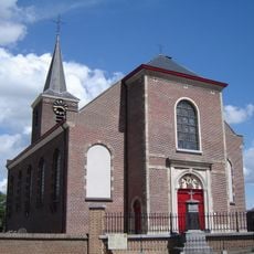
Onze-Lieve-Vrouw-Hemelvaartkerk
574 m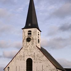
Sint-Corneliuskerk
1 km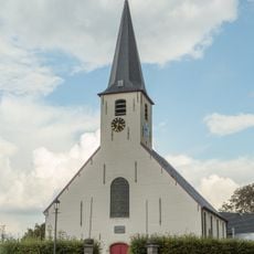
St. Kornelis-Horebeke Churchyard
994 m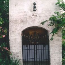
Sint-Corneliuskapel
1.5 kmVisited this place? Tap the stars to rate it and share your experience / photos with the community! Try now! You can cancel it anytime.
Discover hidden gems everywhere you go!
From secret cafés to breathtaking viewpoints, skip the crowded tourist spots and find places that match your style. Our app makes it easy with voice search, smart filtering, route optimization, and insider tips from travelers worldwide. Download now for the complete mobile experience.

A unique approach to discovering new places❞
— Le Figaro
All the places worth exploring❞
— France Info
A tailor-made excursion in just a few clicks❞
— 20 Minutes