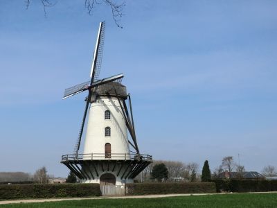
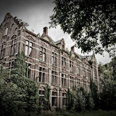
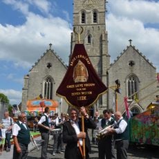
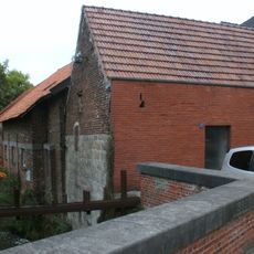
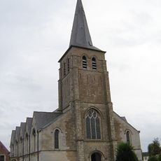
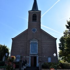
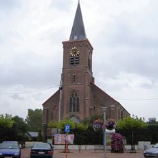
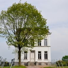
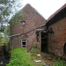
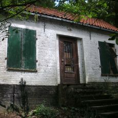
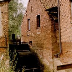
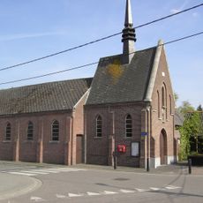
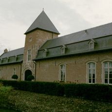
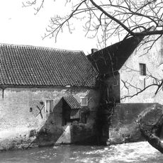
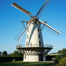
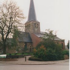
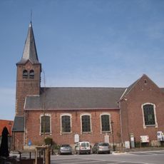
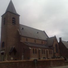
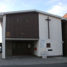
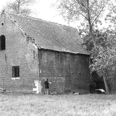
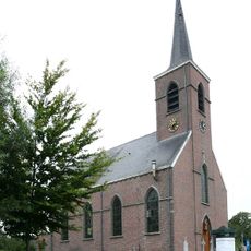
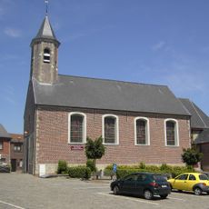
Lede, municipality in East Flanders, Belgium
Location: Arrondissement of Aalst
Capital city: Lede
Part of: Policijska cona Erpe-Mere/Lede, Emergency zone East Flanders South East
Shares border with: Wichelen, Aalst, Erpe-Mere, Sint-Lievens-Houtem, Wetteren, Dendermonde
Phone: +3253606800
Email: info@lede.be
Website: https://lede.be
GPS coordinates: 50.96580,3.97780
Latest update: May 27, 2025 17:31
Mesen Castle
578 m
Sint-Martinuskerk
54 m
Van Der Biestmolen
3.5 km
Sint-Martinuskerk
7.7 km
Sint-Martinuskerk
3.6 km
Sint-Denijskerk
4.2 km
Kasteel ten Bosch
2 km
Cottemmolen
2.3 km
Klooster van Tussenbeke
2.3 km
Van Hauwermeirenmolen
4.1 km
Sint-Martinuskerk
5.4 km
De Watermeulen
4.3 km
Egemmolen
5.3 km
Van Hauwermeirsmolen
7.1 km
Sint-Jozefkapel
3.8 km
Eedgoed
4.4 km
Rabelmolen
1.6 km
Fauconniersmolen
6.6 km
Sint-Pieter-in-Bandenkerk
3.2 km
Sint-Pharildiskerk
3.5 km
Oscar Boelaert home
2.4 km
Kapel Onze-Lieve-Vrouw-Bijstand
3.4 km
Watermolen
2.9 km
Sint-Paulus-Bekeringkerk
4.1 km
Sint-Machariuskerk
3.5 km
Riddermolen
2.3 km
Sint-Lambertuskerk
4.7 km
Sint-Dionysiuskerk
1.9 kmReviews
Visited this place? Tap the stars to rate it and share your experience / photos with the community! Try now! You can cancel it anytime.
Discover hidden gems everywhere you go!
From secret cafés to breathtaking viewpoints, skip the crowded tourist spots and find places that match your style. Our app makes it easy with voice search, smart filtering, route optimization, and insider tips from travelers worldwide. Download now for the complete mobile experience.
A unique approach to discovering new places❞
— Le Figaro
All the places worth exploring❞
— France Info
A tailor-made excursion in just a few clicks❞
— 20 Minutes