
Rumst, municipality in Antwerp, Belgium
Location: Arrondissement of Antwerp
Capital city: Rumst
Part of: Emergency zone Rivierenland, Police Zone Rupel
Shares border with: Duffel, Kontich, Mechelen, Niel, Willebroek, Sint-Katelijne-Waver, Aartselaar, Boom, Schelle
Phone: +3238800011
Email: info@rumst.be
Website: https://rumst.be
GPS coordinates: 51.07690,4.42330
Latest update: May 27, 2025 17:31
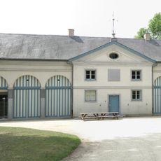
Roosendael Abbey
3.1 km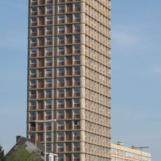
Toren van Braem
4.8 km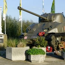
Tank memorial
3.9 km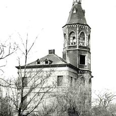
De Bocht Castle
2.1 km
Gemeentepark van Boom
4.3 km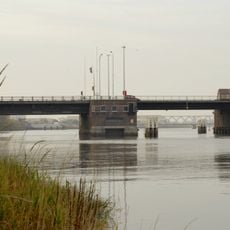
Rupelbrug
4.5 km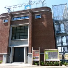
Watertoren
1.8 km
Heimolen, Aartselaar
5.6 km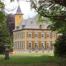
Kasteel Laarhof
2.5 km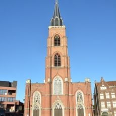
Onze-Lieve-Vrouw en Sint-Rochuskerk
4.2 km
Victor Dumonbrug
4 km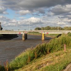
Walembrug
2.1 km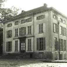
Hof van Tibur
1.4 km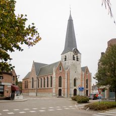
Maria Magdalenakerk
2.8 km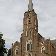
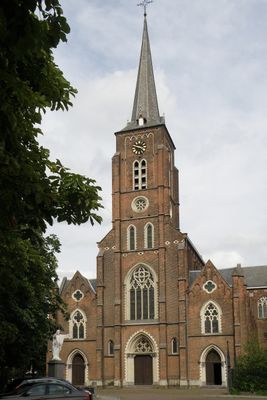
Sint-Pieterskerk
289 m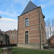
Sashuis
4 km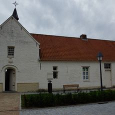
Lazaruskapel
2.1 km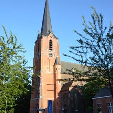
Sint-Jozefskerk
1.9 km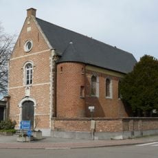
Vallis Pacis
1.6 km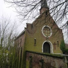
Sint-Annakapel
3.5 km
Sint-Antonius van Padua en Sint-Franciscus van Assisiëkerk
4.1 km
Onze-Lieve-Vrouw-Onbevlekt-Ontvangenkerk
4.1 km
Sint-Jan-Baptist en Sint-Amanduskerk
1.6 km
Slakkenhoeve
2.5 km
Watertoren
1.8 km
Vogelkijkhut Eeckhoven
2.9 km
Vogelkijkhut De Aalscholver
3.5 km
Television tower, building, scenic viewpoint
3 kmVisited this place? Tap the stars to rate it and share your experience / photos with the community! Try now! You can cancel it anytime.
Discover hidden gems everywhere you go!
From secret cafés to breathtaking viewpoints, skip the crowded tourist spots and find places that match your style. Our app makes it easy with voice search, smart filtering, route optimization, and insider tips from travelers worldwide. Download now for the complete mobile experience.

A unique approach to discovering new places❞
— Le Figaro
All the places worth exploring❞
— France Info
A tailor-made excursion in just a few clicks❞
— 20 Minutes