
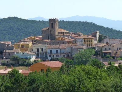
Darnius, municipality in the comarca of the Alt Empordà in Girona, Catalonia
Location: Alt Empordà
Capital city: Darnius
Elevation above the sea: 193 m
Shares border with: Maçanet de Cabrenys, Agullana, La Vajol, Capmany, Biure, Boadella i les Escaules, Terrades, Sant Llorenç de la Muga
Website: http://darnius.cat
GPS coordinates: 42.36472,2.83333
Latest update: March 9, 2025 22:15
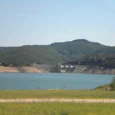
Pantà de Darnius
2.7 km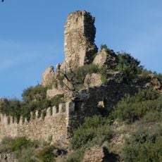
Castell de Mont-roig
3.8 km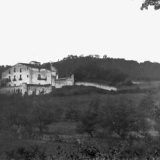
Mas Perxers
3.6 km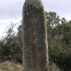
Menhir dels Palaus
5.3 km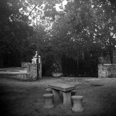
Banys de la Mercè
5.1 km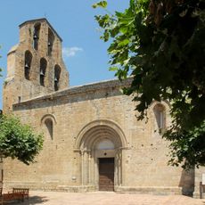
Santa Maria d'Agullana
3.4 km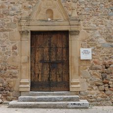
Santa Maria de l'Estrada
4.2 km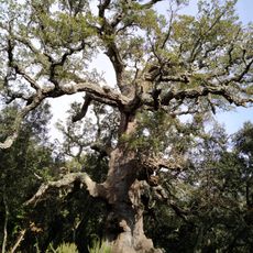
Suro de la Pubilla
5.5 km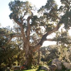
Suro del Mas Perxés
3.5 km
Sant Esteve del Llop
2.4 km
Asil Gomis
3.6 km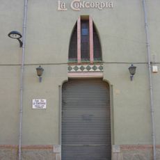
Societat la Concòrdia
3.3 km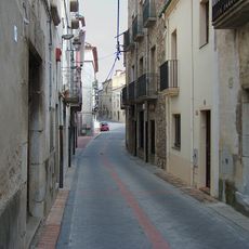
Carrer Major
234 m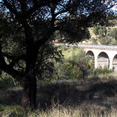
Pont Gran
3.7 km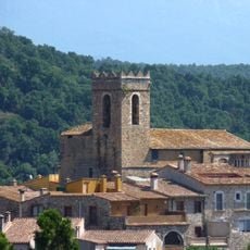
Santa Maria de Darnius
497 m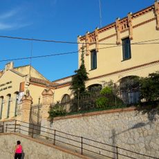
Escoles Lluís Marià Vidal
3.6 km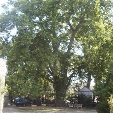
Plàtana Grossa d'en Massot
132 m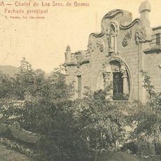
Can Parellada
3.4 km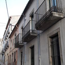
Tipologia cases de l'Eixample
3.3 km
Societat la Concòrdia
429 m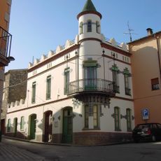
Casa Estela (Agullana)
3.4 km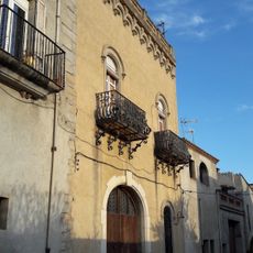
Can Vidal
3.4 km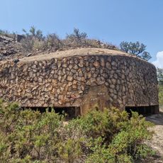
Búnquer al turó de Mont-roig
4.7 km
House in carrer Dolors Gomis, 7
3.5 km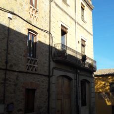
House in carrer Concòrdia, 10
3.3 km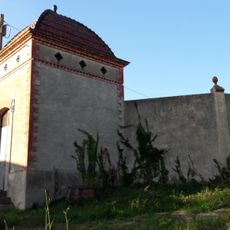
Dipòsit municipal d'aigua
3.5 km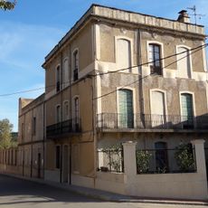
House in carrer Dolors Gomis, 16
3.5 km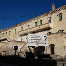
Antiga caserna
3.5 kmVisited this place? Tap the stars to rate it and share your experience / photos with the community! Try now! You can cancel it anytime.
Discover hidden gems everywhere you go!
From secret cafés to breathtaking viewpoints, skip the crowded tourist spots and find places that match your style. Our app makes it easy with voice search, smart filtering, route optimization, and insider tips from travelers worldwide. Download now for the complete mobile experience.

A unique approach to discovering new places❞
— Le Figaro
All the places worth exploring❞
— France Info
A tailor-made excursion in just a few clicks❞
— 20 Minutes