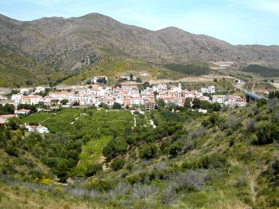
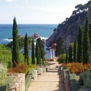
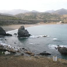
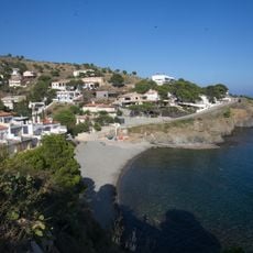
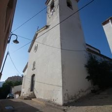
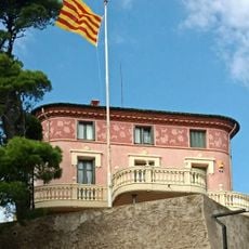
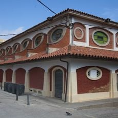
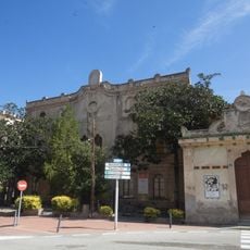
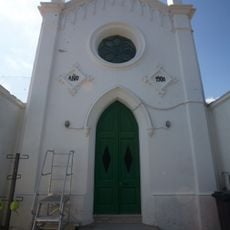
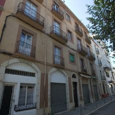
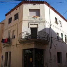
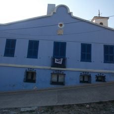
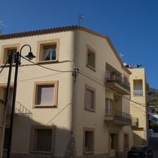
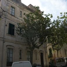
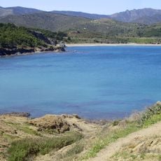
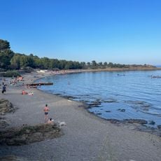
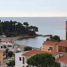
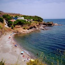
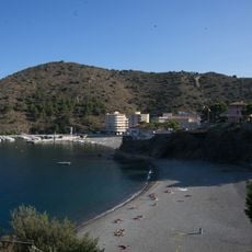
Colera, municipality in the comarca of Alt Empordà, Girona, Catalonia, Spain
Location: Alt Empordà
Capital city: Colera
Elevation above the sea: 10 m
Part of: Mancomunitat de Municipis Comunitat Turística de la Costa Brava, Mancomunitat Intermunicipal Toribi Duran
Shares border with: Llançà, Rabós, Portbou, Banyuls-sur-Mer
Website: http://colera.cat
GPS coordinates: 42.40639,3.15444
Latest update: March 10, 2025 02:01
Sant Miquel de Colera
5 km
Platja de Garbet
1.5 km
Santa Maria de Portbou
2.2 km
Pantà de Portbou
3.2 km
Dolmen del Coll de la Farella
3.8 km
Railroad bridge
411 m
Cementiri de Portbou
2.4 km
Claper
2.1 km
Centre Cívic de Portbou
2.2 km
Can Piera
2.3 km
Cala Rovellada
851 m
Church of Sant Miquel de Colera
335 m
Bloc de la Renfe
2.1 km
Xalet d'en Molar
174 m
Mercat municipal
2.1 km
Antigues escoles
2.2 km
Sant Crist in cemetery
2.3 km
House in rambla Catalunya 13
2.3 km
House in carrer dels Horts, 20
411 m
Ca la Paulina
328 m
Villa Maria
384 m
Cases Dalmau i Lorente
2.1 km
Platja del Borró
2 km
Platja de Canyelles
2.4 km
Platja de Grifeu
2.8 km
En Goixa
146 m
Platja dels Morts
95 m
Presa de Portbou
3.2 kmVisited this place? Tap the stars to rate it and share your experience / photos with the community! Try now! You can cancel it anytime.
Discover hidden gems everywhere you go!
From secret cafés to breathtaking viewpoints, skip the crowded tourist spots and find places that match your style. Our app makes it easy with voice search, smart filtering, route optimization, and insider tips from travelers worldwide. Download now for the complete mobile experience.
A unique approach to discovering new places❞
— Le Figaro
All the places worth exploring❞
— France Info
A tailor-made excursion in just a few clicks❞
— 20 Minutes