
Santa Llogaia d'Àlguema, municipality in the comarca of Alt Empordà, Girona, Catalonia, Spain
Location: Alt Empordà
Elevation above the sea: 42 m
Shares border with: Vilafant, El Far d'Empordà, Vilamalla, Borrassà, Figueres
Website: http://santallogaia.cat
GPS coordinates: 42.23338,2.95239
Latest update: March 17, 2025 06:55
Molí de la Torre
2.2 km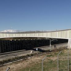
Vilafant Bridge
2.3 km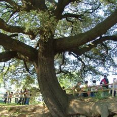
Alzina de la Font de Can Massanet
1.9 km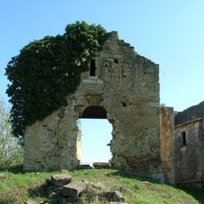
Palol Sabaldòria
1.2 km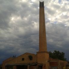
Bòvila d'en Soler
1.2 km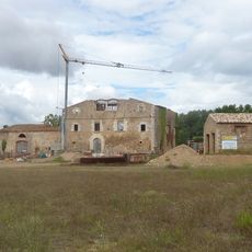
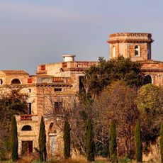
Castell de Palol Sabaldòria
1.2 km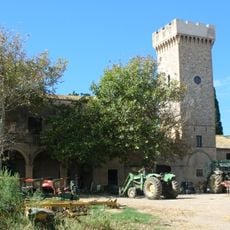
Sant Pau de la Calçada Tower
2.5 km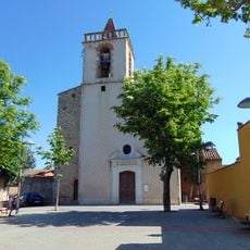
Sant Cebrià de Vilafant
1.9 km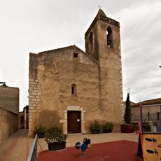
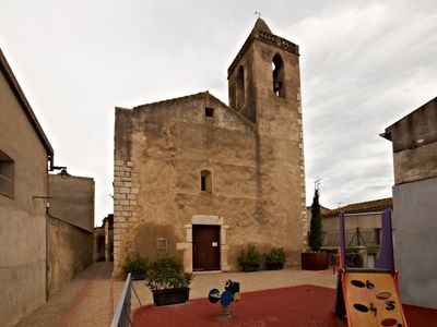
Santa Llogaia
18 m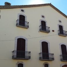
Can Batlle
2.6 km
Sant Vicenç de Vilamalla
2.2 km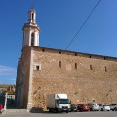
Sant Andreu de Borrassà
2.4 km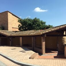
Safareig de Vilamalla
2.4 km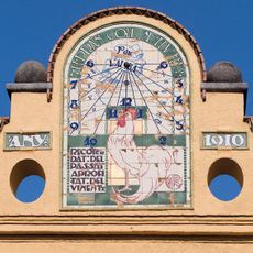
Casa Coll
2.5 km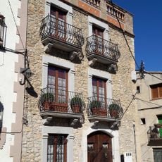
House in carrer del Pou Comú, 31
2.5 km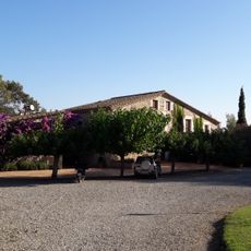
Mas Vilar
2.8 km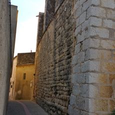
Restes de l'antic portal de muralla
17 m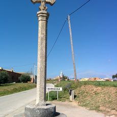
Creu de terme
2.1 km
Santa Maria de Creixell
2.9 km
House in carrer Sant Antoni, 11
30 m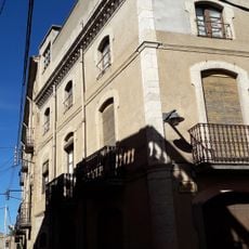
House in carrer de Baix, 3
2.5 km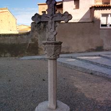
Creu de la plaça de l'Església
2.5 km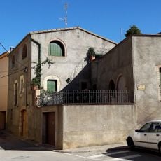
Ca l'Enric
2.5 km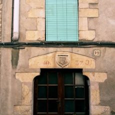
Can Bartrolí
2.6 km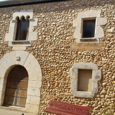
House in carrer Sant Antoni, 13
21 m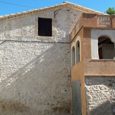
Can Serra
2.6 km
Creu commemorativa a Vilamalla
2.7 km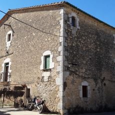
Can Gustí
3 kmVisited this place? Tap the stars to rate it and share your experience / photos with the community! Try now! You can cancel it anytime.
Discover hidden gems everywhere you go!
From secret cafés to breathtaking viewpoints, skip the crowded tourist spots and find places that match your style. Our app makes it easy with voice search, smart filtering, route optimization, and insider tips from travelers worldwide. Download now for the complete mobile experience.

A unique approach to discovering new places❞
— Le Figaro
All the places worth exploring❞
— France Info
A tailor-made excursion in just a few clicks❞
— 20 Minutes