
Anglès, Spanish municipality, in the comarca of Selva, in the province of Girona, Catalonia
Location: Selva
Location: Province of Girona
Elevation above the sea: 181 m
Part of: Mancomunitat Intermunicipal Voluntària del Gironès
Shares border with: La Cellera de Ter, Sant Julià del Llor i Bonmatí, Bescanó, Brunyola, Osor
Website: http://angles.cat
GPS coordinates: 41.95737,2.64002
Latest update: March 6, 2025 05:08

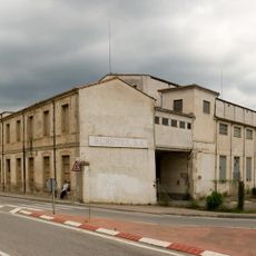
Fàbrica Burés
560 m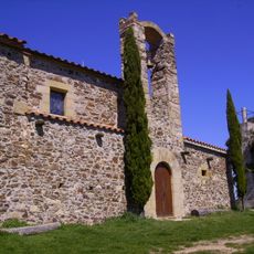
Ermita de Santa Bàrbara d'Anglès
3.7 km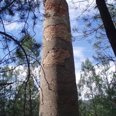
Mines del Sant Pare
1.3 km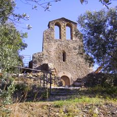
Ermita de Sant Amanç (Anglès)
2.8 km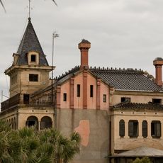
La Torre
597 m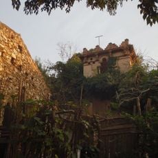
Castell d'Anglès
44 m
Can Cendra
89 m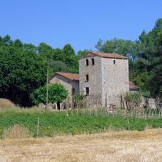
Can Biel (Anglès)
1.2 km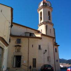
Sant Miquel d'Anglès
141 m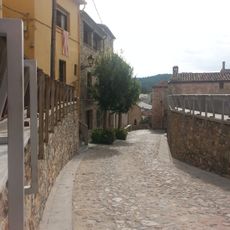
Carrer de l'Empedrat
72 m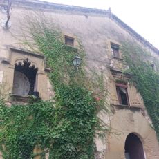
Can Cuc
627 m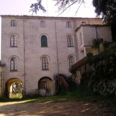
Can Bellveí
2.5 km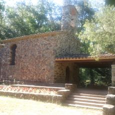
Sant Pere Sestronques
2.7 km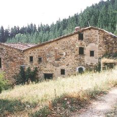
Can Camps (Anglès)
2.7 km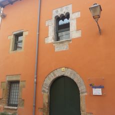
Masoveria de Can Cendra
76 m
Cafè de l'Aliança (Anglès)
176 m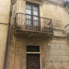
Pisos de Can Verdaguer
89 m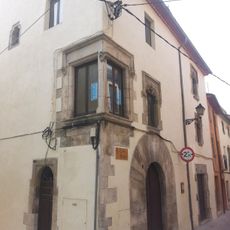
Cal Noi
46 m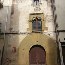
Ca l'Esparter
94 m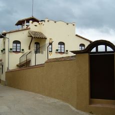
Casa Doctor Vinyes (Anglès)
69 m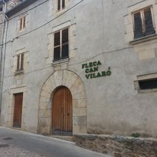
Can Vilaró (Anglès)
44 m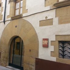
Casal de Can Camps
128 m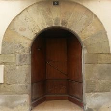
Can Duc
70 m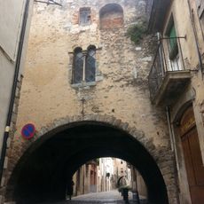
Cal Sabater
103 m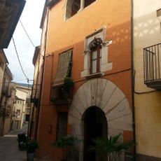
Cal Rellotger
75 m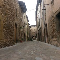
Carrer d'Avall
53 m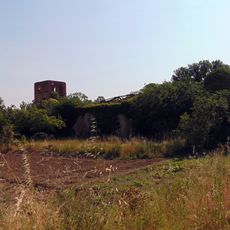
La Farga (Anglès)
706 m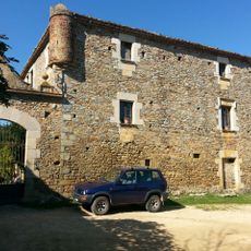
Can Planes
1.1 kmReviews
Visited this place? Tap the stars to rate it and share your experience / photos with the community! Try now! You can cancel it anytime.
Discover hidden gems everywhere you go!
From secret cafés to breathtaking viewpoints, skip the crowded tourist spots and find places that match your style. Our app makes it easy with voice search, smart filtering, route optimization, and insider tips from travelers worldwide. Download now for the complete mobile experience.

A unique approach to discovering new places❞
— Le Figaro
All the places worth exploring❞
— France Info
A tailor-made excursion in just a few clicks❞
— 20 Minutes