
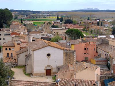
Cervià de Ter, village in the province of Girona and autonomous community of Catalonia, Spain
Location: Gironès
Capital city: Cervià de Ter
Elevation above the sea: 45 m
Shares border with: Viladasens, Sant Jordi Desvalls, Sant Joan de Mollet, Bordils, Vilademuls, Medinyà
Website: http://webspobles2.ddgi.cat/cerviadeter
GPS coordinates: 42.06917,2.91167
Latest update: April 3, 2025 18:36
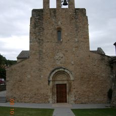
Santa Maria de Cervià
167 m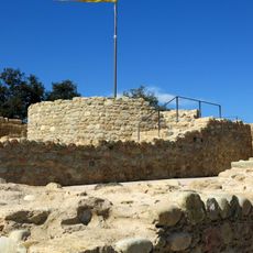
Castell de Cervià
309 m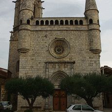
Sant Esteve de Bordils
2.8 km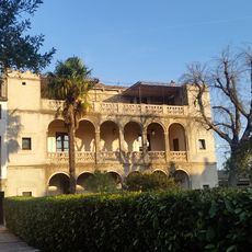
Can Tallada
2.7 km
Nucli antic de Bordils
2.8 km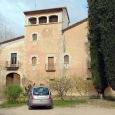
Can Santamaria de Raset
1.1 km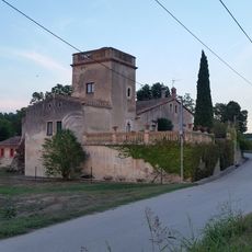
Can Baldiret
2.3 km
Can Xapa
2.9 km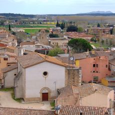
Sant Genís de Cervià
213 m
Torre de les Hores (Cervià de Ter)
290 m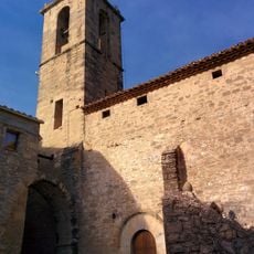
Sant Sadurní de Vilafreser
3 km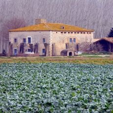
Mas Pujadas
2.8 km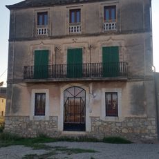
Can Sastre
2.8 km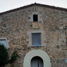
Can Mallorquí
2.3 km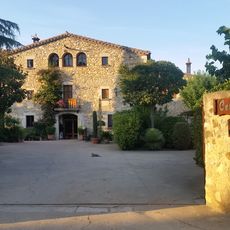
Ca l'Estevenet
2.7 km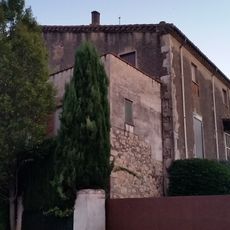
Can Clavaguera
3 km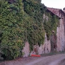
Can Coll
2.3 km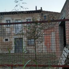
Can Ros del Pla
2.4 km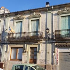
Can Vilella
2.8 km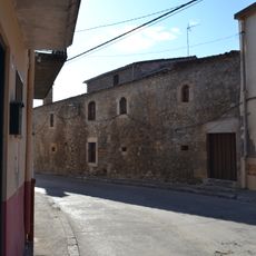
Mas Torrent
259 m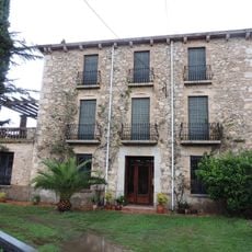
Cal Metge Bosch
2.7 km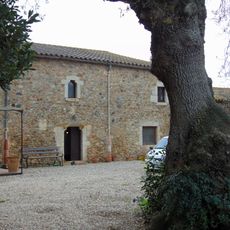
Can Conill Gros
3.1 km
Can Batista (Bordils)
2.2 km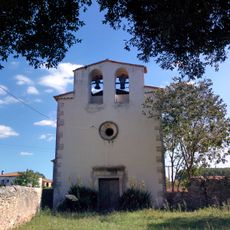
Sant Cristòfol de Raset
1.2 km
House in carrer Ample, 20
2.8 km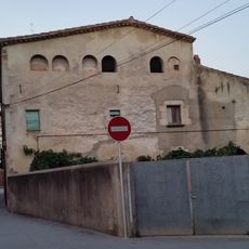
Rectoria de Bordils
2.8 km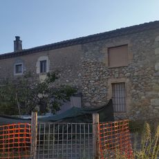
Can Colom
2.8 km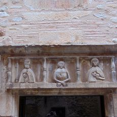
Llinda esculpida de l'antic hospital
247 mReviews
Visited this place? Tap the stars to rate it and share your experience / photos with the community! Try now! You can cancel it anytime.
Discover hidden gems everywhere you go!
From secret cafés to breathtaking viewpoints, skip the crowded tourist spots and find places that match your style. Our app makes it easy with voice search, smart filtering, route optimization, and insider tips from travelers worldwide. Download now for the complete mobile experience.

A unique approach to discovering new places❞
— Le Figaro
All the places worth exploring❞
— France Info
A tailor-made excursion in just a few clicks❞
— 20 Minutes