
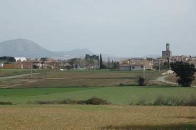
Parlavà, village in the province of Girona and autonomous community of Catalonia, Spain
Location: Baix Empordà
Elevation above the sea: 40 m
Part of: Mancomunitat Intermunicipal dels Municipis de Foixà, Parlavà, Rupià i Ultramort
Shares border with: Ultramort, Serra de Daró, Ullastret, Corçà, Verges, Foixà
Website: http://parlava.cat
GPS coordinates: 42.02303,3.03115
Latest update: March 15, 2025 22:20

Castell de Rupià
1.7 km
Castell de Finestres (Ultramort)
1.7 km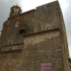
Església de Sant Feliu de Parlavà
131 m
Sant Joan de Matajudaica
2.2 km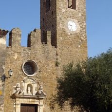
Santa Eulàlia d'Ultramort
1.5 km
Sant Iscle i Santa Victòria
2.4 km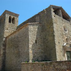
Sant Genís de Casavells
2.6 km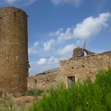
Castell de Sant Iscle
2.3 km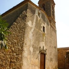
Santa Maria
1.6 km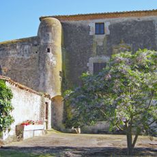
Can Pagès
1.4 km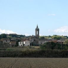
Sant Vicenç de Rupià
1.7 km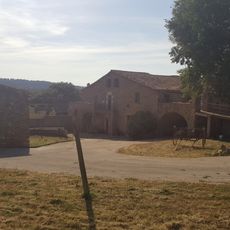
Can Casadella
2.2 km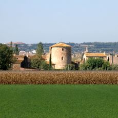
Sant Cristòfol de Fonolleres
1.8 km
Can Nató
1.7 km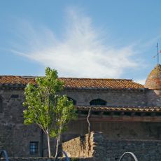
Mas Solers
92 m
Santa Maria de Serra de Daró
3.5 km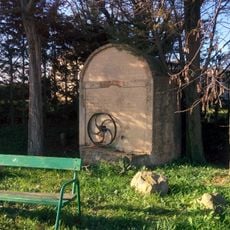
Font de Casavells
2.4 km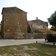
Mas Serrallers (Serra de Daró)
3.5 km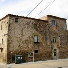
Can Saló
2.6 km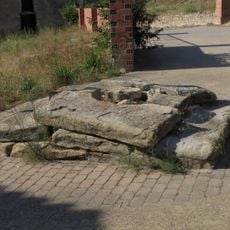
Basament de creu de terme
3.8 km
Façana de l'antiga Can Bou
3.8 km
Can Xiana
1.8 km
Escoles de Casavells
2.6 km
Can Pons Boto
2.6 km
Ca l'Hospitaler
3.8 km
Mas Guardis
2 km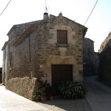
Can Pelegrí
3.8 km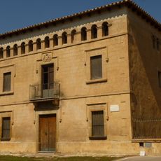
Casa rectoral
3.4 kmReviews
Visited this place? Tap the stars to rate it and share your experience / photos with the community! Try now! You can cancel it anytime.
Discover hidden gems everywhere you go!
From secret cafés to breathtaking viewpoints, skip the crowded tourist spots and find places that match your style. Our app makes it easy with voice search, smart filtering, route optimization, and insider tips from travelers worldwide. Download now for the complete mobile experience.

A unique approach to discovering new places❞
— Le Figaro
All the places worth exploring❞
— France Info
A tailor-made excursion in just a few clicks❞
— 20 Minutes