
La Tallada d'Empordà, municipality in Catalonia, Spain
Location: Baix Empordà
Elevation above the sea: 20 m
Website: http://www.latallada.cat
Shares border with: Albons, Bellcaire d'Empordà, Ullà, Fontanilles, Serra de Daró, Verges, Garrigoles, Viladamat
Website: http://latallada.cat
GPS coordinates: 42.08139,3.05583
Latest update: March 8, 2025 16:49

Castle of Bellcaire
3.2 km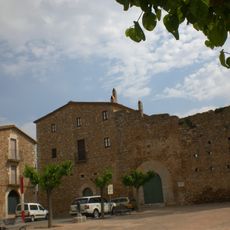
Castle of Albons
3.6 km
Castell de Verges
2.4 km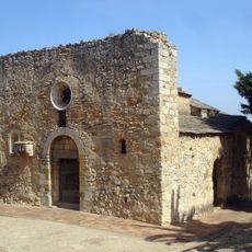
Church of Sant Joan of Bellcaire
3.3 km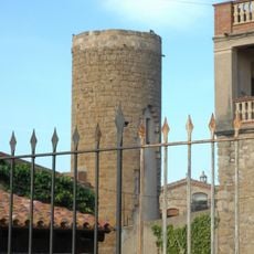
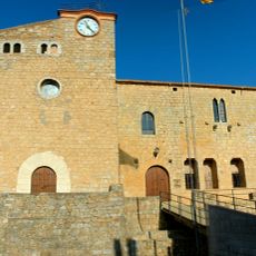
Castell de la Tallada
132 m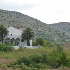
Mas Blanc
4.5 km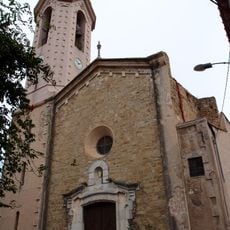
Sant Julià i Santa Basilissa
2.4 km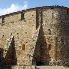
Sant Esteve de Maranyà
1.4 km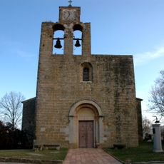
Santa Maria de la Tallada
150 m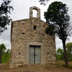
Sant Grau d'Albons
3.1 km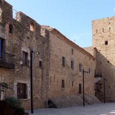
Recinte fortificat de Verges
2.4 km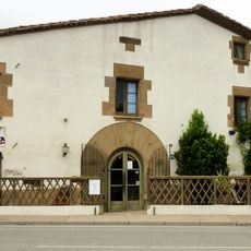
Mas Pi
2.3 km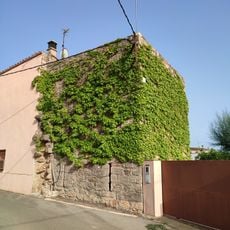
Fortificació d'Albons
3.5 km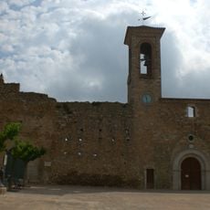
Sant Cugat d'Albons
3.5 km
Castell de Jafre
3.8 km
Sant Martí de Jafre
3.8 km
Ajuntament de Verges
2.4 km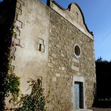
Sant Mateu de Canet de Verges
3.3 km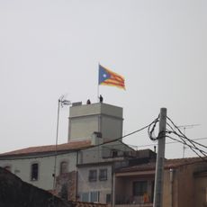
Ca l'Albert
2.5 km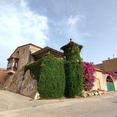
Can Camps
3.2 km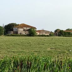
Casa Massaguer
3 km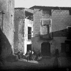
Can Batlle
2.4 km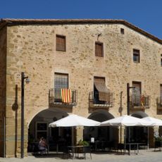
Can Font
2.4 km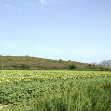
Puig Moragues
3.2 km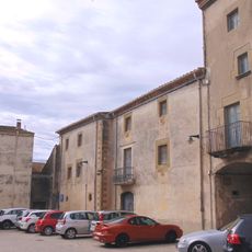
Can Romaguera
2.5 km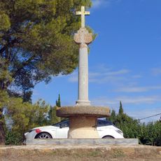
Creu del Padró
3.8 km
Creu de Can Pou
3.7 km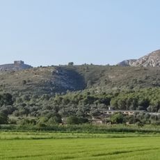
La Muntanyeta
4.3 kmReviews
Visited this place? Tap the stars to rate it and share your experience / photos with the community! Try now! You can cancel it anytime.
Discover hidden gems everywhere you go!
From secret cafés to breathtaking viewpoints, skip the crowded tourist spots and find places that match your style. Our app makes it easy with voice search, smart filtering, route optimization, and insider tips from travelers worldwide. Download now for the complete mobile experience.

A unique approach to discovering new places❞
— Le Figaro
All the places worth exploring❞
— France Info
A tailor-made excursion in just a few clicks❞
— 20 Minutes