
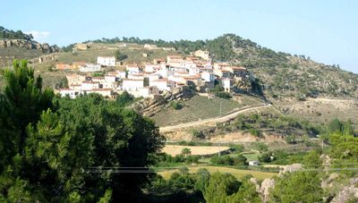
Algarra, municipality of Spain
Location: Cuenca Province
Elevation above the sea: 1,200 m
Part of: Mancomunitat «La Sierra Baja»
Shares border with: Casas de Garcimolina, Fuentelespino de Moya, Salvacañete, Vallanca, Alcalá de la Vega
Website: http://algarra.org
GPS coordinates: 40.00222,-1.43556
Latest update: March 9, 2025 18:51
Ruins of Moya
8.3 km
Cross of the Three Kingdoms
16 km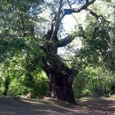
Chopo de Negrón
8.1 km
Ermita de Santerón
5.8 km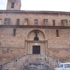
Iglesia de San Pedro y San Pablo de Ademuz
14.3 km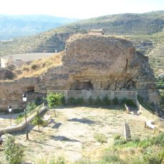
Castillo de Ademuz
14.3 km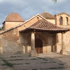
Ermita de Nuestra Señora de la Huerta
14.7 km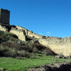
Coracha de Moya
8.1 km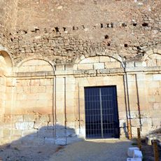
Convento de la Concepción Franciscana
8.2 km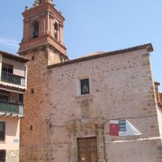
Iglesia de Nuestra Señora de los Ángeles de Vallanca
10.7 km
Convento de Recoletas Bernardas
7 km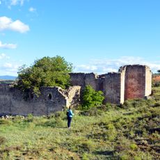
Convento de San Francisco
7.7 km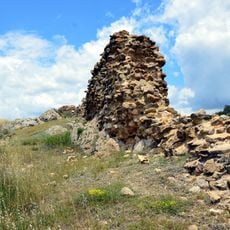
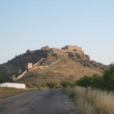
Castle of Algarra
75 m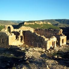
Ermita de Santa Bárbara de Ademuz
14.3 km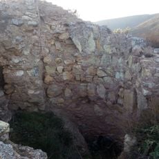
Castillo de Barrachina
13.2 km
Cambra Vieja del Trigo (Ademuz)
14.3 km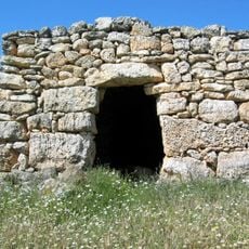
Barraca de Josezón
10.7 km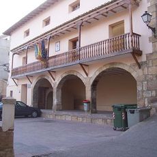
Town Hall of Ademuz
14.3 km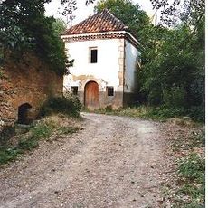
Ermita de Nuestra Señora del Rosel (Ademuz)
14.7 km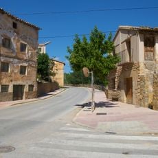
Molino Nuevo, Ademuz
14.8 km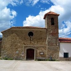
Iglesia de San Joaquín y Santa Bárbara de Arroyo Cerezo
13.3 km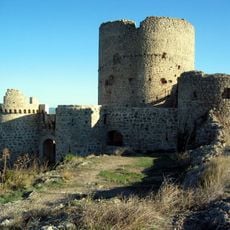
Castillo de los Bobadilla, Moya
8.6 km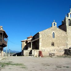
Church of Santa María
8.4 km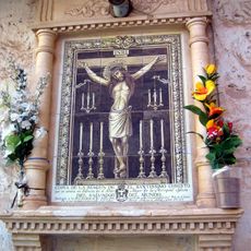
Ceramic panel of Christ the Saviour
14.3 km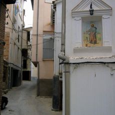
Ceramic panel of Saint Roch
14.4 km
Cruz de Tres Reinos
16 km
Lavadero de la Fuente Vieja, Ademuz
14.1 km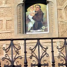
Ceramic panel of Saint Anthony of Padua
14.3 kmReviews
Visited this place? Tap the stars to rate it and share your experience / photos with the community! Try now! You can cancel it anytime.
Discover hidden gems everywhere you go!
From secret cafés to breathtaking viewpoints, skip the crowded tourist spots and find places that match your style. Our app makes it easy with voice search, smart filtering, route optimization, and insider tips from travelers worldwide. Download now for the complete mobile experience.

A unique approach to discovering new places❞
— Le Figaro
All the places worth exploring❞
— France Info
A tailor-made excursion in just a few clicks❞
— 20 Minutes