
La Galera, municipality of Spain
Location: Montsià
Capital city: La Galera
Elevation above the sea: 112 m
Part of: Taula del Sénia
Shares border with: Santa Bárbara, Masdenverge, Godall, Ulldecona, Mas de Barberáns
Website: http://galera.altanet.org
GPS coordinates: 40.68178,0.46325
Latest update: March 9, 2025 15:40
Merades
5.1 km
Serra de Godall
5.1 km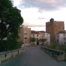
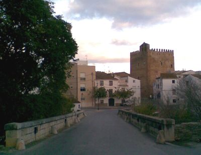
Torre de la Galera
116 m
Abrics d'Ermites
5.6 km
Fargues de l'Arion
7.1 km
Ermita de la Pietat
5.5 km
Museu de la Pauma
9.6 km
Sant Marc de Mas de Barberans
9.6 km
Església parroquial de la Mare de Déu del Roser
6.8 km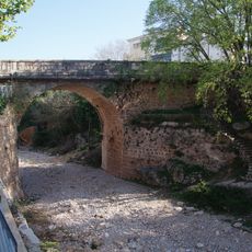
Pont sobre el barranc de la Galera
173 m
Ajuntament de la Galera
34 m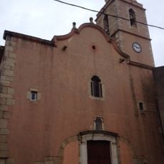
Sant Bartomeu de Freginals
4.9 km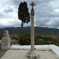
Creu de terme d'Ulldecona
5.5 km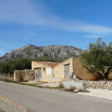
Flaret
10.9 km
Molí de Vallès
4.4 km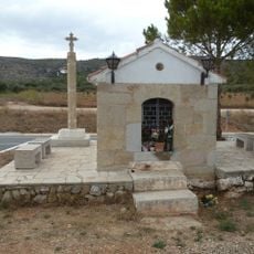
Creu de terme de la Capelleta
6.4 km
Pou de Sant Roc (Godall)
3 km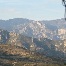
Mola Cantando
11.7 km
Séquia mare
7.5 km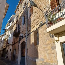
Casa el Cacahuero
9.6 km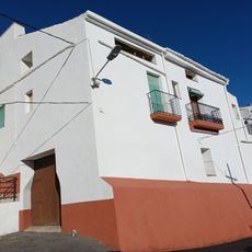
Casa Damianet
9.5 km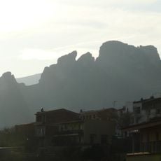
Los Castellets
10.3 km
Abric d'Ermites IV
5.5 km
Abric d'Ermites I
5.6 km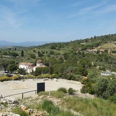
Abric d'Ermites VIII
5.5 km
Biblioteca José Escudé Albesa
4.7 km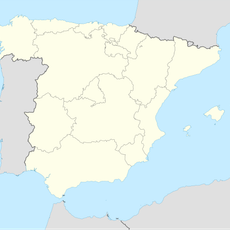
Pas de Pancha Blanca
11.2 km
Corral del Toniet
10 kmReviews
Visited this place? Tap the stars to rate it and share your experience / photos with the community! Try now! You can cancel it anytime.
Discover hidden gems everywhere you go!
From secret cafés to breathtaking viewpoints, skip the crowded tourist spots and find places that match your style. Our app makes it easy with voice search, smart filtering, route optimization, and insider tips from travelers worldwide. Download now for the complete mobile experience.

A unique approach to discovering new places❞
— Le Figaro
All the places worth exploring❞
— France Info
A tailor-made excursion in just a few clicks❞
— 20 Minutes