
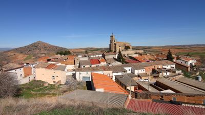
Alarilla, municipality of Spain
Location: Guadalajara Province
Capital city: Alarilla
Elevation above the sea: 845 m
Part of: Mancomunitat d'Aigües «La Muela» espanyol, Mancomunitat «Las Dos Campiñas»
Shares border with: Espinosa de Henares, Humanes, Mohernando, Montarrón, Taragudo, Torre del Burgo
GPS coordinates: 40.84889,-3.10556
Latest update: April 6, 2025 11:15
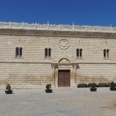
Palace of the Dukes of Medinaceli
11 km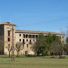
Monastery of Sopetrán
6 km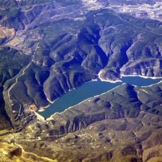
Beleña Reservoir
12.2 km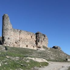
Castle of Cogolludo
11.2 km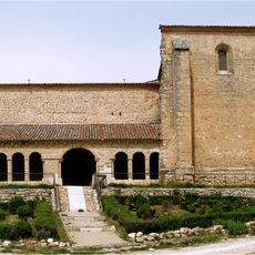
Church of San Miguel
11.1 km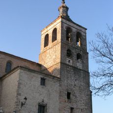
Church of Santa María de los Remedios
11.2 km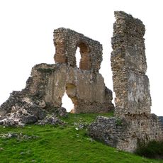
Castle of Beleña de Sorbe
11.4 km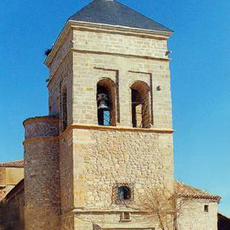
Saint Stephen's Church, Humanes
4.7 km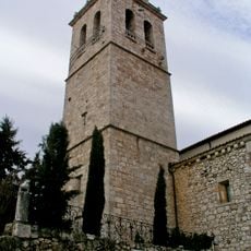
Church of Nuestra Señora de la Asunción
13.2 km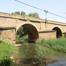
Bridge over Henares River
7 km
Church of Espinosa de Henares
6.8 km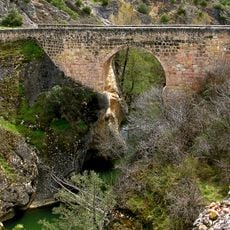
Puente sobre el río Sorbe, Beleña de Sorbe
11.3 km
Church of San Juan
5.6 km
Church of San Pedro
5.5 km
Church of Montarrón
6.9 km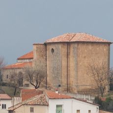
Church of San Juan Bautista
8.3 km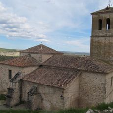
Church of San Pedro
11.2 km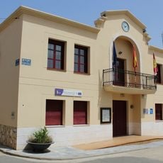
Espinosa de Henares Town Hall
6.8 km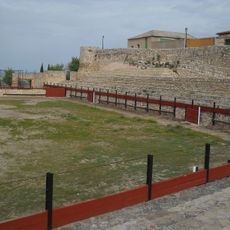
Palenque de Hita
5.5 km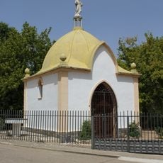
Ermita de Nuestra Señora de la Soledad, Espinosa de Henares
7 km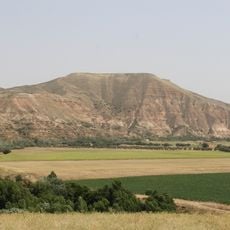
La Muela
590 m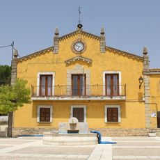
Montarrón Town Hall
6.9 km
Picota de Torija
13.2 km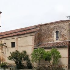
Church of Nuestra Señora del Valle
13 km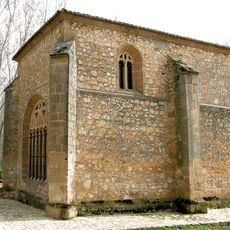
Ermita de Sopetrán
6.1 km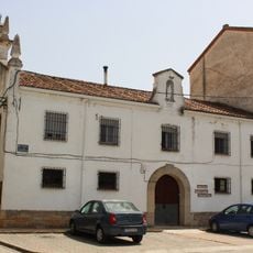
Convento de la Asunción, Espinosa de Henares
7.1 km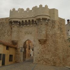
Villa de Hita
5.4 km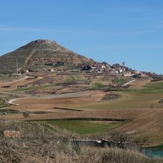
Cerro de Hita
5.4 kmReviews
Visited this place? Tap the stars to rate it and share your experience / photos with the community! Try now! You can cancel it anytime.
Discover hidden gems everywhere you go!
From secret cafés to breathtaking viewpoints, skip the crowded tourist spots and find places that match your style. Our app makes it easy with voice search, smart filtering, route optimization, and insider tips from travelers worldwide. Download now for the complete mobile experience.

A unique approach to discovering new places❞
— Le Figaro
All the places worth exploring❞
— France Info
A tailor-made excursion in just a few clicks❞
— 20 Minutes