
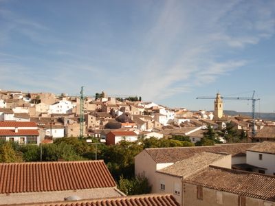
Jarafuel, municipality of Spain
Location: El Valle de Cofrentes-Ayora
Capital city: Jarafuel
Elevation above the sea: 650 m
Shares border with: Ayora, Teresa de Cofrentes, Zara, Jalance, Cortes de Pallás, Carcelén, Villa de Ves
Website: http://jarafuel.es
GPS coordinates: 39.13989,-1.07285
Latest update: March 3, 2025 02:26
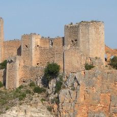
Castillo de Chirel
13.4 km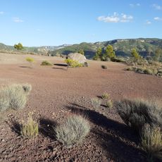
Cerro de Agrás
11.1 km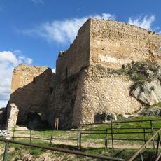
Castle of Ayora
9.2 km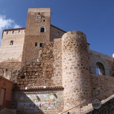
Castle of Cofrentes
10.1 km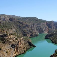
El Molinar Reservoir
17.3 km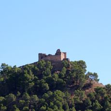
Castillo de Jalance
5.9 km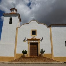
Ermita de la Virgen del Rosario de Ayora
8.2 km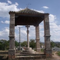
Covered Cross of Ayora
9.8 km
Convent of Saint Francis of Padua
8.8 km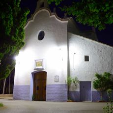
Ermita del Santo Ángel de Ayora
7.6 km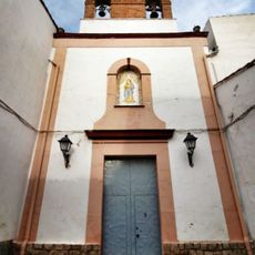
Ermita de Santa Lucía de Ayora
9.3 km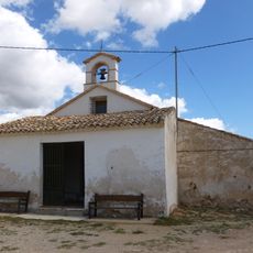
Ermita de San Anton de Ayora
9.7 km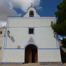
Ermita de San José de Ayora
9.1 km
Chapel of Saint Barbara, Ayora
8.8 km
Bell tower of Zarra
5.4 km
Church of the Convent of Saint Francis
8.8 km
Church of Saint Catherine
113 m
Church of the Assumption
4.2 km
Church of Saint Anne
5.4 km
Ex-Convent de Saint Dominic, Ayora
9.1 km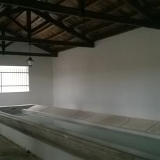
Public Wash House of Cofrentes
9.8 km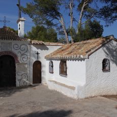
Calvary and chapel of Our Lady of the Solitude
10.1 km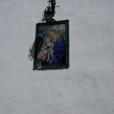
Ceramic panel of Our Lady of the Magnificat
8.2 km
Chapel of Saint Roc
7.2 km
Chapel of the Holy Cross
4 km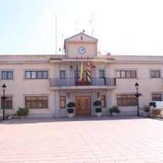
Agencia de Lectura Municipal de Cofrentes
10.1 km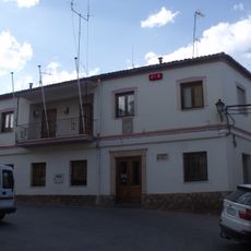
Town hall of Zarra
5.4 km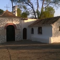
Chapel of Our Lady of Solitude, Cofrentes
10.1 kmVisited this place? Tap the stars to rate it and share your experience / photos with the community! Try now! You can cancel it anytime.
Discover hidden gems everywhere you go!
From secret cafés to breathtaking viewpoints, skip the crowded tourist spots and find places that match your style. Our app makes it easy with voice search, smart filtering, route optimization, and insider tips from travelers worldwide. Download now for the complete mobile experience.

A unique approach to discovering new places❞
— Le Figaro
All the places worth exploring❞
— France Info
A tailor-made excursion in just a few clicks❞
— 20 Minutes