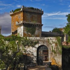
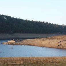
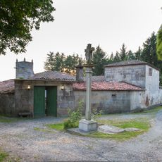
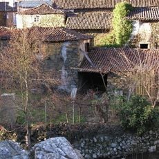
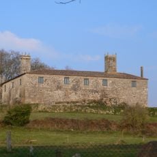
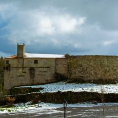
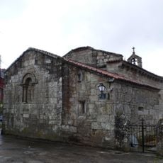
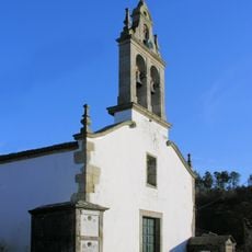
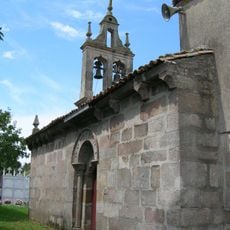
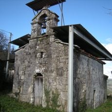
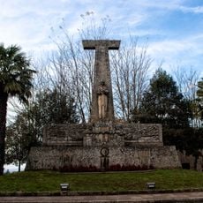
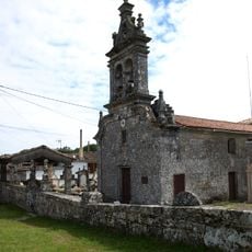
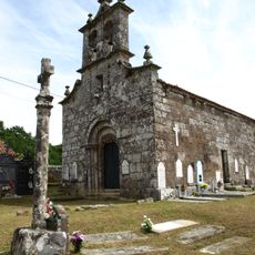
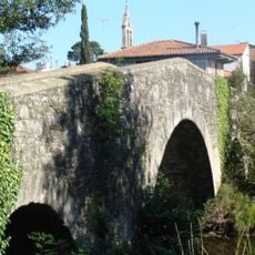
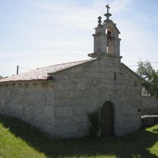
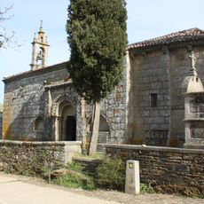
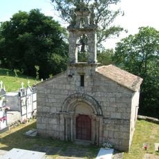
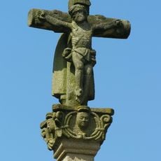
Agolada, Spanish municipality
Location: Pontevedra Province
Capital city: Agolada
Part of: O Deza, Mancomunidade de Terras de Deza
Shares border with: Rodeiro, Lalín, Vila de Cruces, Santiso, Palas de Rei, Antas de Ulla
Website: http://agolada.es
GPS coordinates: 42.76222,-8.01972
Latest update: March 20, 2025 05:07
Pambre Castle
11.7 km
Portodemouros Reservoir
13.6 km
Pazo de Vilane
9.7 km
Furelos, Melide
16.6 km
Pazo de Borraxeiros
4.4 km
Fortaleza de Castro de Amarante
7.5 km
Barns of Agolada
129 m
Pedrafita do Casal
15.3 km
Church of San Martiño de Lalín
13.3 km
Church of San Xoán de Furelos
16.4 km
Church of Saint James the Great
14.3 km
Church of Santa Baia de Palio
7.2 km
Monument to Ramón María Aller
13.5 km
Monument to Aviator Joaquín Loriga
13.5 km
Church of Santa María de Pedraza
14.1 km
Church of Saint Martin
14.2 km
Church of Saint Mammet
10.1 km
Furelos, Melide
16.4 km
Church of San Lourenzo de Pedraza
14 km
Church of Santa María de Melide
16.6 km
Church of Saint Michael
12.7 km
Biblioteca Pública Municipal de Lalín - Benito Varela Jácome
13.5 km
Puente sobre el río Seco
14.8 km
Biblioteca Pública Municipal de Antas de Ulla
10.8 km
Chapel of Our Lady of the Rosary
10.8 km
Fonte dos Cabalos
13.3 km
Biblioteca del Museo Municipal Ramón Mª Aller Ulloa
13.6 km
Cruceiro do adro da Igrexa de Nosa Señora da Piedade das Cruces
12.8 kmReviews
Visited this place? Tap the stars to rate it and share your experience / photos with the community! Try now! You can cancel it anytime.
Discover hidden gems everywhere you go!
From secret cafés to breathtaking viewpoints, skip the crowded tourist spots and find places that match your style. Our app makes it easy with voice search, smart filtering, route optimization, and insider tips from travelers worldwide. Download now for the complete mobile experience.
A unique approach to discovering new places❞
— Le Figaro
All the places worth exploring❞
— France Info
A tailor-made excursion in just a few clicks❞
— 20 Minutes