
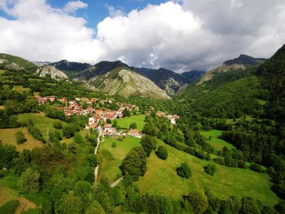
Orllé, parish of Spain
Location: Casu
Elevation above the sea: 688 m
Shares border with: Bueres, El Campu, Sobrecastiellu, Taranes
GPS coordinates: 43.19770,-5.32558
Latest update: March 3, 2025 02:06
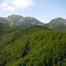
Redes Natural Park
4.3 km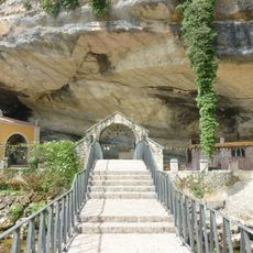
Santuario de la Virgen de la Cueva
17.3 km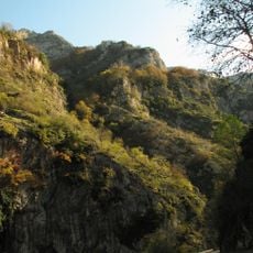
Desfiladero de Los Beyos
20.1 km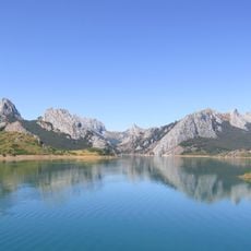
Montaña de Riaño y Mampodre Regional Park
20.5 km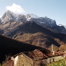
Parque natural de Ponga
14 km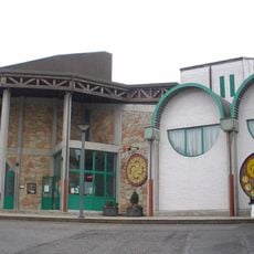
Cider Museum
23 km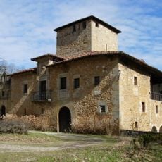
Palacio de la Ferrería
21.1 km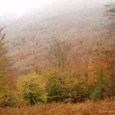
Peloño
17.8 km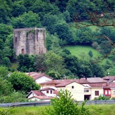
El Torreon, Laviana
15 km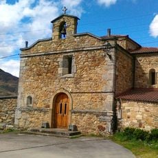
Santuario de la Virgen del Otero
19.6 km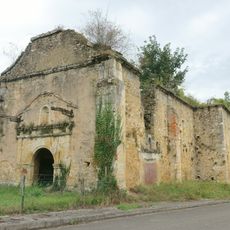
Iglesia de San Cipriano
16.4 km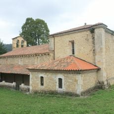
Church of San Juan de Berbío
16.3 km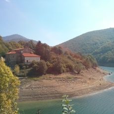
Iglesia de Santa María
6.4 km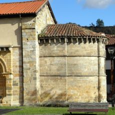
Iglesia de Santa María
18.1 km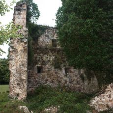
Torreón de Lodeña
20.5 km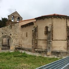
Church of Saint John the Baptist, Santibáñez de la Fuente
20.7 km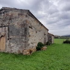
Iglesia de San Martín de Escoto
19.7 km
Teatro Maxi
20.1 km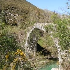
Puente sobre el Río Dobra
20 km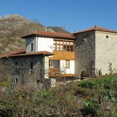
Mansion of Menendez (La Aldea)
14.7 km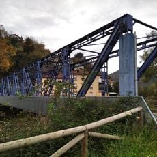
Puente del Miramar
23 km
Iglesia de San Andrés de Agües
14.3 km
Biblioteca Pública Municipal de Infiesto - Marqués de Vista-Alegre
16.8 km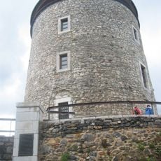
Torreón de Puebla de Lillo
21.6 km
Casona del Bravial
22.9 km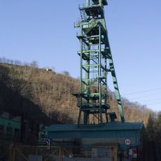
Castillete del pozo Carrio
21.7 km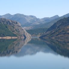
Tanes Reservoir
6.5 km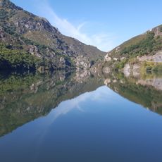
Rioseco Reservoir
11.7 kmReviews
Visited this place? Tap the stars to rate it and share your experience / photos with the community! Try now! You can cancel it anytime.
Discover hidden gems everywhere you go!
From secret cafés to breathtaking viewpoints, skip the crowded tourist spots and find places that match your style. Our app makes it easy with voice search, smart filtering, route optimization, and insider tips from travelers worldwide. Download now for the complete mobile experience.

A unique approach to discovering new places❞
— Le Figaro
All the places worth exploring❞
— France Info
A tailor-made excursion in just a few clicks❞
— 20 Minutes