
Zaidín, municipality of Spain
Location: Bajo Cinca/Baix Cinca
Location: Huesca Province
Elevation above the sea: 155 m
Part of: La Franja
Shares border with: Ballobar, Huesca, Alcarràs, Gimenells i el Pla de la Font, Fraga, Velilla de Cinca, Osso de Cinca, Belver de Cinca
Website: http://zaidin.org
GPS coordinates: 41.60000,0.26667
Latest update: March 3, 2025 22:28
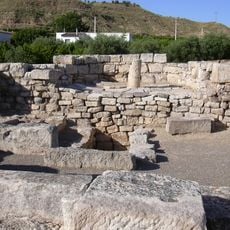
Villa Fortunatus
6.5 km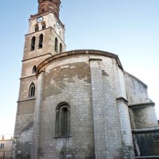
Church of San Pedro, Fraga
11 km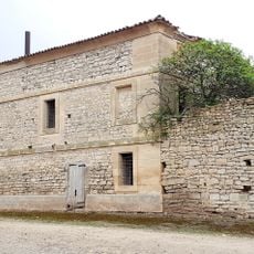
Cal Macià
10.8 km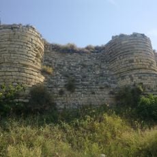
Castle of Saidí
593 m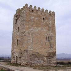
Torre de los Frailes
12.9 km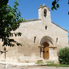
Ermita de San Valero
3.3 km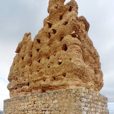
Tower of Santa Quitèria
5.9 km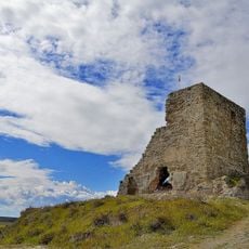
Castell de Gimenells
13.7 km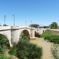
Puente de Ballobar
6.6 km
Church of San Miguel, Fraga
11.1 km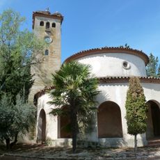
Sant Francesc Xavier de Suquets
16.8 km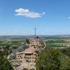
Lo Vilot
16.8 km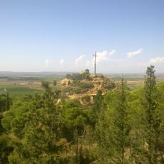
Castell de Sucs
16.8 km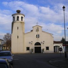
Mare de Déu del Roser de Gimenells i el Pla de la Font
11.8 km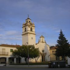
Sant Isidre de Sucs
16.6 km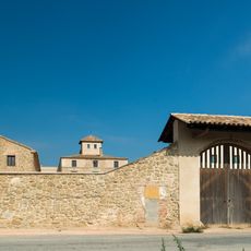
La Ginesta
17.4 km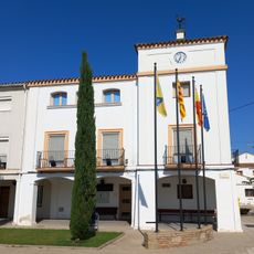
Ajuntament de Gimenells i el Pla de la Font
11.8 km
Pla de la Font
12.1 km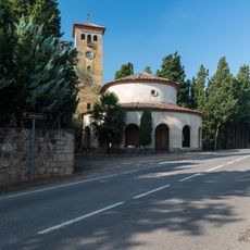
Belvedere
16.8 km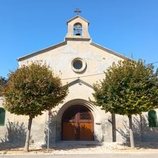
Santa Maria
13.3 km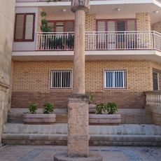
Crucero de la Iglesia, Torrente de Cinca
15.2 km
Cobert del Teodoro
12.3 km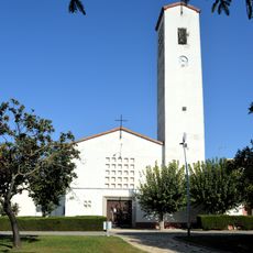
Sant Josep Obrer
12.1 km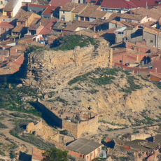
Castillo de Torrente de Cinca
15.2 km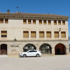
Biblioteca Pública Municipal de Ballobar
6.6 km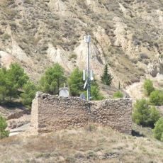
Castell de Vallobar
6.9 km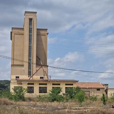
Silo de Fraga
10.7 km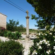
Creu de terme de Sant Valeri
3.3 kmVisited this place? Tap the stars to rate it and share your experience / photos with the community! Try now! You can cancel it anytime.
Discover hidden gems everywhere you go!
From secret cafés to breathtaking viewpoints, skip the crowded tourist spots and find places that match your style. Our app makes it easy with voice search, smart filtering, route optimization, and insider tips from travelers worldwide. Download now for the complete mobile experience.

A unique approach to discovering new places❞
— Le Figaro
All the places worth exploring❞
— France Info
A tailor-made excursion in just a few clicks❞
— 20 Minutes