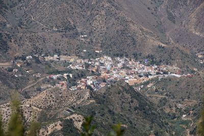
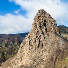
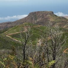
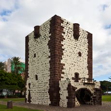
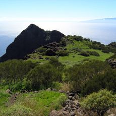
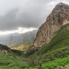
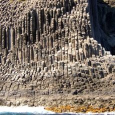
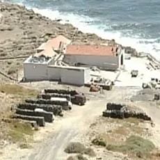
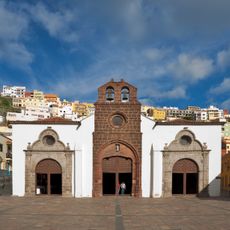
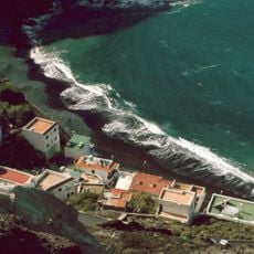
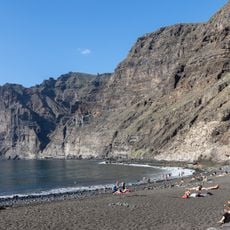
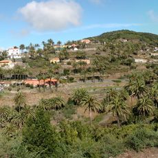
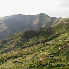
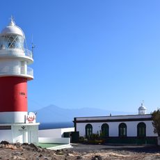
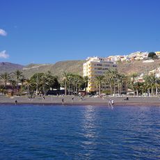
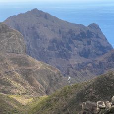
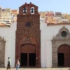
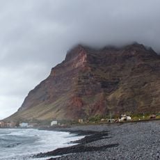
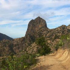
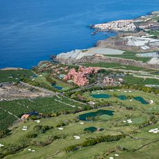
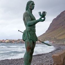
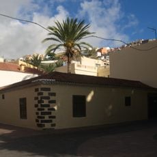
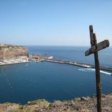
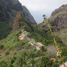
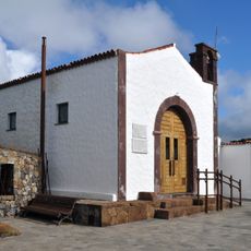
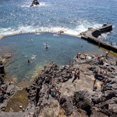
Vallehermoso, municipality of Spain
Location: Santa Cruz de Tenerife Province
Elevation above the sea: 180 m
Website: http://www.ayuntamientovallehermoso.org
Shares border with: Agulo, Alajeró, Santa Cruz de Tenerife, Valle Gran Rey, Hermigua
Website: http://ayuntamientovallehermoso.org
GPS coordinates: 28.17987,-17.26468
Latest update: March 10, 2025 21:58
Garajonay National Park
6.5 km
Monumento Natural de La Fortaleza
8.9 km
Torre del Conde
18 km
Punta de Teno Lighthouse
38.1 km
Parque Rural de Teno
43.1 km
Roque de Agando
9.7 km
Los Órganos
4.2 km
Ermita de Nuestra Señora de Guadalupe
16.9 km
Exterior of the Church of la Asunción, San Sebastián de la Gomera
17.9 km
Alojera
6.6 km
Playa Los Gigantes
42.3 km
Las Hayas (Valle Gran Rey)
6.2 km
Los Carrizales
43 km
San Cristóbal Lighthouse
18.7 km
Jardín Botánico del Descubrimiento de Vallehermoso
677 m
Parroquia del Espíritu Santo
42.1 km
Playa de San Sebastián
18.2 km
Parque Rural de Teno
45.2 km
Colón
17.8 km
Playa de La Puntilla
12.3 km
Roque Cano
759 m
Abama Golf
46.3 km
Hautacuperche statue, Valle Gran Rey
12.5 km
Casa de la Aguada
18.1 km
San Sebastián de La Gomera Port
18.4 km
El Caserío de Masca
43.9 km
Iglesia De Teno Alto
42.2 km
Natural pool of Puerto de Santiago
41.9 kmReviews
Visited this place? Tap the stars to rate it and share your experience / photos with the community! Try now! You can cancel it anytime.
Discover hidden gems everywhere you go!
From secret cafés to breathtaking viewpoints, skip the crowded tourist spots and find places that match your style. Our app makes it easy with voice search, smart filtering, route optimization, and insider tips from travelers worldwide. Download now for the complete mobile experience.
A unique approach to discovering new places❞
— Le Figaro
All the places worth exploring❞
— France Info
A tailor-made excursion in just a few clicks❞
— 20 Minutes