
Santa Engràcia, locality
Location: Tremp
Elevation above the sea: 1,010 m
Part of: Gurp de la Conca
GPS coordinates: 42.22160,0.87401
Latest update: March 7, 2025 06:20
Conca de Tremp-Montsec Geopark
1.8 km
Talarn Castle
4.6 km
Santa Maria de Castelló d'Encús
2.4 km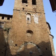
Sant Martí de Talarn
4.6 km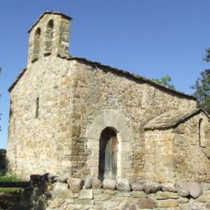
Santa Bàrbara de Sensui (Salàs de Pallars)
4.5 km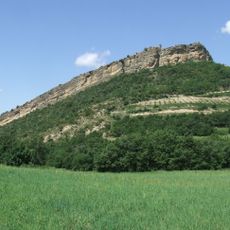
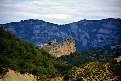
Castell de Santa Engràcia
57 m
Sant Martí de Rivert
3.6 km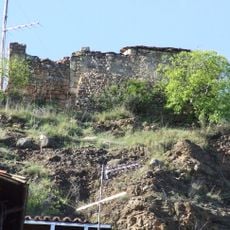
Mare de Déu del Castell de Rivert
3.6 km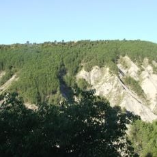
Sant Cebrià de Salàs
4.6 km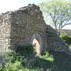
Sant Miquel de Gurp
3.4 km
Casa del Baró d'Eroles
4.6 km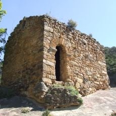
Sant Martí de Gurp
1.9 km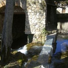
Molí de Rivert
3.5 km
Sant Serni de Gurp
2.2 km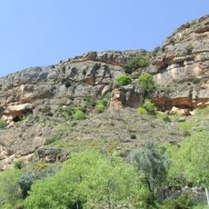
Corrals de Gurp
2.4 km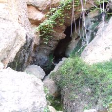
Cova de la Font
3.5 km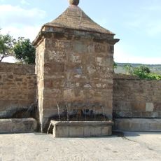
Font de Caps
4.2 km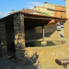
Safareig públic de Talarn
4.2 km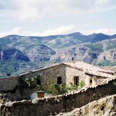
Casa Mauri
37 m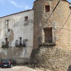
Casa pairal del Portal de Caps
4.5 km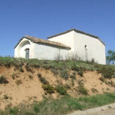
Ermita del Calvari
3.7 km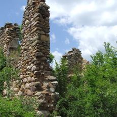
Sant Clem
3.8 km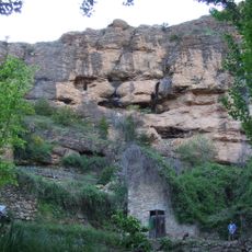
Les Balçs
3.4 km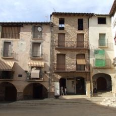
Plaça Major
4.6 km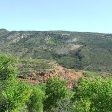
Costes i Feixans
3.7 km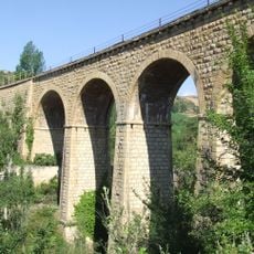
Pont del Ferrocarril
4.3 km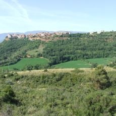
Costanes
4.1 km
Los Seixos
3.2 kmReviews
Visited this place? Tap the stars to rate it and share your experience / photos with the community! Try now! You can cancel it anytime.
Discover hidden gems everywhere you go!
From secret cafés to breathtaking viewpoints, skip the crowded tourist spots and find places that match your style. Our app makes it easy with voice search, smart filtering, route optimization, and insider tips from travelers worldwide. Download now for the complete mobile experience.

A unique approach to discovering new places❞
— Le Figaro
All the places worth exploring❞
— France Info
A tailor-made excursion in just a few clicks❞
— 20 Minutes