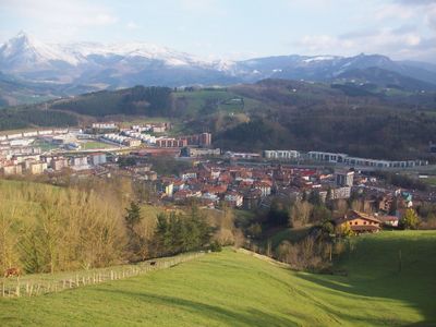
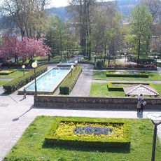
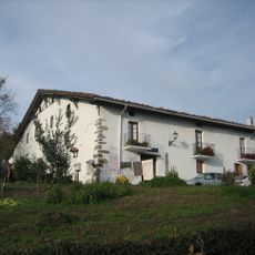
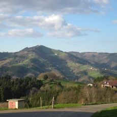
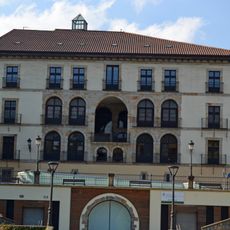
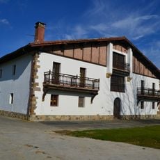
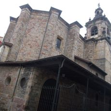
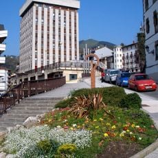
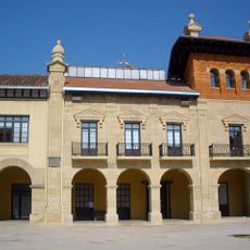
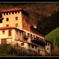
Ordizia, municipality of Spain
Location: Goierri
Inception: 1256
Elevation above the sea: 153 m
Part of: Enirio-Aralar Commonwealth, Mancomunitat de Municipis per a la gestió de l'escorxador comarcal de Tolosa, Mancomunitat de Sasieta
Shares border with: Beasain, Itsasondo, Arama, Zaldibia, Lazkao
Website: https://ordizia.eus
GPS coordinates: 43.05472,-2.17833
Latest update: March 14, 2025 12:46
Altamira Municipal Stadium
523 m
Church of Nuestra Señora de la Asunción, Beasain
1.6 km
Olaran fabrika
1.1 km
Barrena parkea
174 m
Letamendi baserria
1.3 km
Usurbe
2.4 km
Palacio Barrena - Casa de Cultura
88 m
Oiangu
793 m
Church of Nuestra Señora de la Asunción, Ordizia
197 m
Torresol (Ordizia)
275 m
Town hall of Beasain
1.7 km
Zabale dorretxea
569 m
Zabala jauregia
27 m
2 gaineko 1, multzo hirukoitza
164 m
Town hall of Ordizia
133 m
Abaria jauregia
155 m
Andres Urdanetaren estatua
61 m
Domingo Goitia kalea
142 m
Sujetoenea
148 m
Etxezarreta kalea
168 m
Goen kalea
184 m
Jakes etxea
64 m
Kale Nagusia
109 m
Calle de Santa María
144 m
Muxika dorretxea, Ordizia
217 m
Gazteluzar jauregia
150 m
Jauregi Botika
223 m
Herri Antzokia
152 mReviews
Visited this place? Tap the stars to rate it and share your experience / photos with the community! Try now! You can cancel it anytime.
Discover hidden gems everywhere you go!
From secret cafés to breathtaking viewpoints, skip the crowded tourist spots and find places that match your style. Our app makes it easy with voice search, smart filtering, route optimization, and insider tips from travelers worldwide. Download now for the complete mobile experience.
A unique approach to discovering new places❞
— Le Figaro
All the places worth exploring❞
— France Info
A tailor-made excursion in just a few clicks❞
— 20 Minutes