
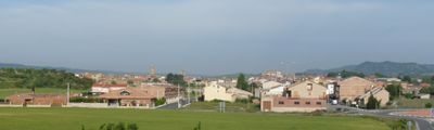
L'Albi, municipality of Spain
Location: Garrigues
Elevation above the sea: 526 m
Part of: Mancomunitat Intermunicipal per a l’Abastament d’Aigua Potable a la comarca de Les Garrigues, Mancomunitat de Municipis per la Música a les Garrigues
Shares border with: Les Borges Blanques, Vinaixa, El Vilosell, La Pobla de Cérvoles, Cervià de les Garrigues
Website: http://albi.cat
GPS coordinates: 41.42500,0.93861
Latest update: March 2, 2025 22:10
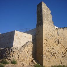
Castell de l'Albi
257 m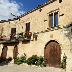
Casa Tarragó
3.1 km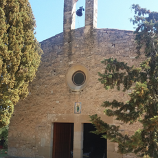
Sant Bonifaci
5.6 km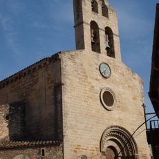
Sant Joan de Vinaixa
3.1 km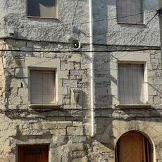
Cal Manel
3 km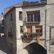
Cal Moncarre
3.1 km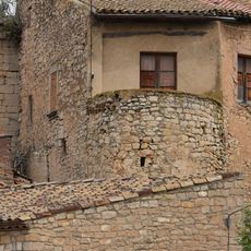
Castell de Vinaixa
3.1 km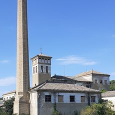
Fàbrica SAFRA
2.7 km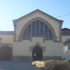
Cooperativa del Camp de l'Albi
166 m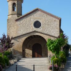
Ermita dels Sants Metges de l'Albi
505 m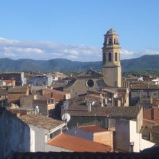
Santa Maria de l'Albi
372 m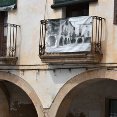
Plaça de la Vellesa
292 m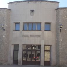
Casal de Vinaixa
3 km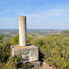
Punta del Pouet
5.5 km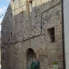
Casa de Poblet
3.1 km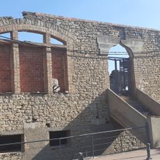
Centre Obrer Republicà
3.2 km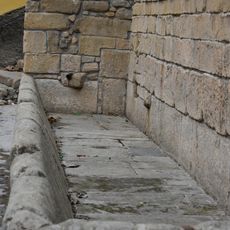
Abeurador
306 m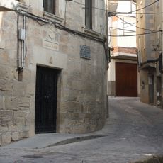
Casa de la Vila de l'Albi
306 m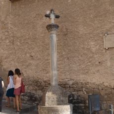
Creu de la plaça de l'Església
3.1 km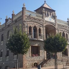
Cal Blanco
3.2 km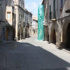
Carrer Major
355 m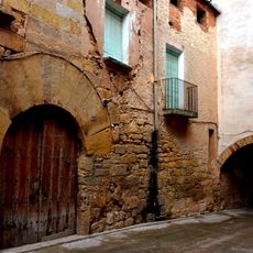
Carrer del Call
345 m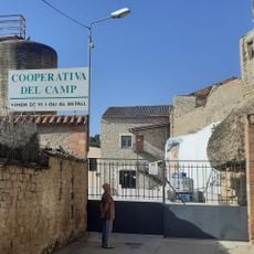
Cooperativa del Camp de Vinaixa
3 km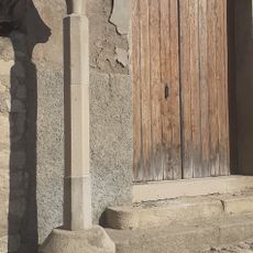
Creu de terme de Vinaixa
3.1 km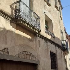
Cal Cabories
3 km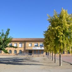
CEIP Els Aubis
107 m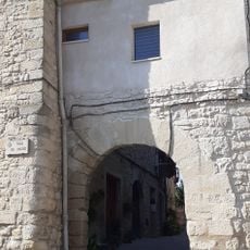
Portal del carrer del Forn
3.2 km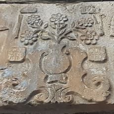
Llinda de l'habitatge al carrer Forn, 10
3.1 kmReviews
Visited this place? Tap the stars to rate it and share your experience / photos with the community! Try now! You can cancel it anytime.
Discover hidden gems everywhere you go!
From secret cafés to breathtaking viewpoints, skip the crowded tourist spots and find places that match your style. Our app makes it easy with voice search, smart filtering, route optimization, and insider tips from travelers worldwide. Download now for the complete mobile experience.

A unique approach to discovering new places❞
— Le Figaro
All the places worth exploring❞
— France Info
A tailor-made excursion in just a few clicks❞
— 20 Minutes