
Fuentelsaz, municipality of Spain
Location: Guadalajara Province
Capital city: Fuentelsaz
Elevation above the sea: 1,120 m
Part of: Mancomunitat «Campo-Mesa»
Shares border with: Tartanedo, Milmarcos, Campillo de Aragón, Cimballa, Tortuera
GPS coordinates: 41.07472,-1.82944
Latest update: March 6, 2025 02:45
Monastery of Piedra
13.8 km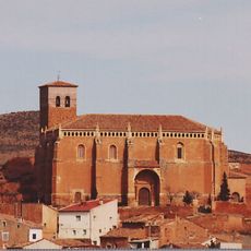
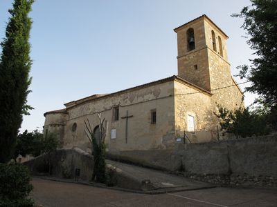
Iglesia de San Miguel Arcángel
16 km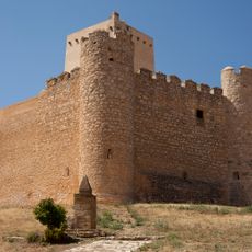
Castle of Embid
15.2 km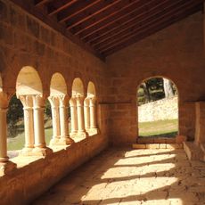
Hermitage of Santa Catalina
6.7 km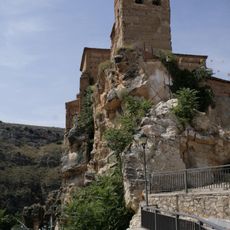
Castillo de Nuévalos
15.7 km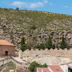
Castle of Monterde
13.6 km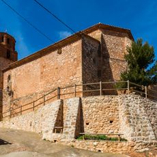
Castle of Campillo de Aragón
5.9 km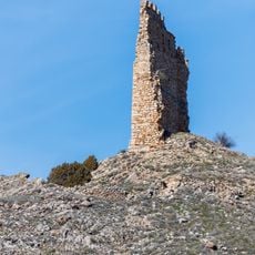
Castle of Cimballa
5.5 km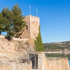
Castillo menor de Nuévalos
15.7 km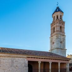
Hermitage of St Lucía, Campillo de Aragón
5.8 km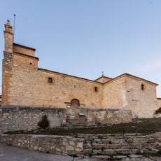
Church of the Assumption, Establés
17.9 km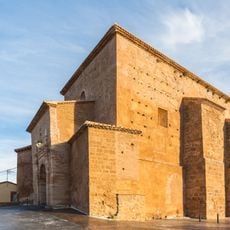
Iglesia de San Julián
15.6 km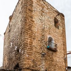
Castle of Calmarza
11.5 km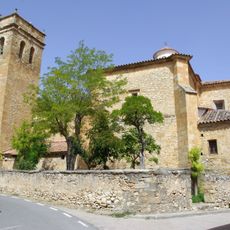
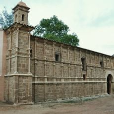
Church of San Bartolomé
12 km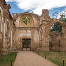
Church of the Monastery of Piedra
13.8 km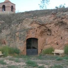
Gruta de la Virgen de la Soledad
15.2 km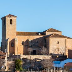
Church of San Pedro Apóstol
11.8 km
Church of Nuestra Señora de la Asunción
13.6 km
Church of Santa Catalina
15.1 km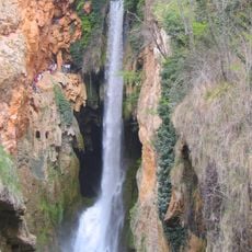
Monasterio de Piedra Natural Park
13.6 km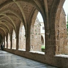
Cloister of the Monastery of Piedra
13.8 km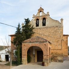
Ermita de la Virgen de los Alvares, Nuévalos
15.7 km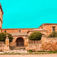
Church of Nuestra Señora de las Nieves
17.4 km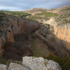
Hoces del Río Mesa
12.9 km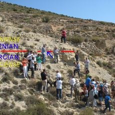
GSSP for the base of the Aalenian
497 m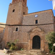
Iglesia de la Asunción, Cubel
16.3 km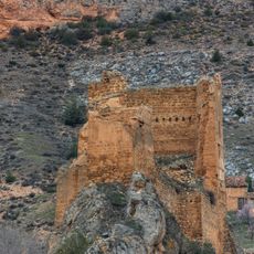
Castillo de Los Funes
14.7 km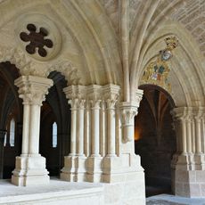
Chapter house of the Monastery of Piedra
13.8 kmReviews
Visited this place? Tap the stars to rate it and share your experience / photos with the community! Try now! You can cancel it anytime.
Discover hidden gems everywhere you go!
From secret cafés to breathtaking viewpoints, skip the crowded tourist spots and find places that match your style. Our app makes it easy with voice search, smart filtering, route optimization, and insider tips from travelers worldwide. Download now for the complete mobile experience.

A unique approach to discovering new places❞
— Le Figaro
All the places worth exploring❞
— France Info
A tailor-made excursion in just a few clicks❞
— 20 Minutes