
Santa Fe del Penedès, municipality of Spain
Location: Alt Penedès
Elevation above the sea: 240 m
Part of: Mancomunitat Penedès i Garraf
Shares border with: El Pla del Penedès, Subirats, Avinyonet del Penedès, La Granada, Font-rubí
Website: https://santafepenedes.cat
GPS coordinates: 41.38694,1.72167
Latest update: March 4, 2025 07:29

Castell de la Granada
929 m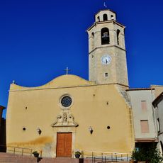
Sant Cristòfol de la Granada
864 m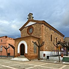
Església Parroquial de Sant Andreu
2.7 km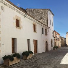
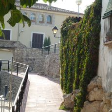
Cal Cabanyes
1.1 km
Montargull
2.8 km
Cal Puig
219 m
Ajuntament de la Granada
1.1 km
Can Ferran
2.8 km
Masia Bergadanes
2.2 km
Casa del Castlà
908 m
Santa Maria de Santa Fe del Penedès
256 m
Mas Romaní
2.3 km
Casa Pladellorens
1.7 km
Casa Josep Parellada
2.6 km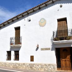
Carrer Nou de Can Cartró
2.1 km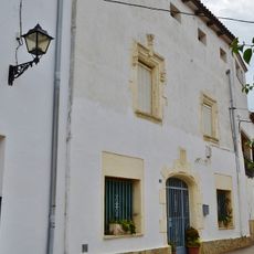
Cal Montserrat
285 m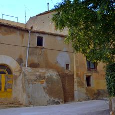
Carrer de Baix
972 m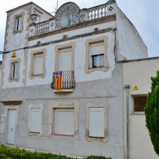
Rectoria de Santa Fe del Penedès
298 m
Can Escardó
1.5 km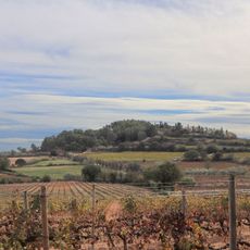
Pedró de la Granada
1.3 km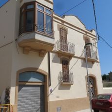
Cal Salat
1.1 km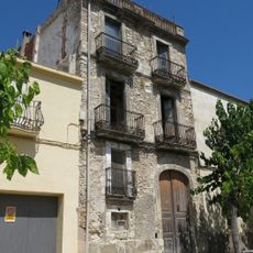
Ca l'Insenser
1.2 km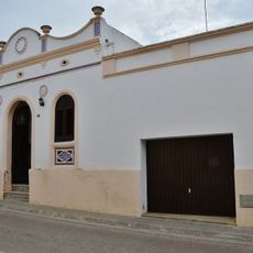
Cal Ferret
328 m
La Cooperativa
302 m
Can Martí
2.3 km
El Casal
1.2 km
Ca la Marieta
1.1 km
Ca la Mília
286 mVisited this place? Tap the stars to rate it and share your experience / photos with the community! Try now! You can cancel it anytime.
Discover hidden gems everywhere you go!
From secret cafés to breathtaking viewpoints, skip the crowded tourist spots and find places that match your style. Our app makes it easy with voice search, smart filtering, route optimization, and insider tips from travelers worldwide. Download now for the complete mobile experience.

A unique approach to discovering new places❞
— Le Figaro
All the places worth exploring❞
— France Info
A tailor-made excursion in just a few clicks❞
— 20 Minutes