
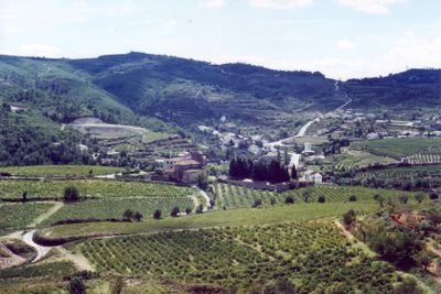
Pontons, municipality of Spain
Location: Alt Penedès
Elevation above the sea: 584 m
Part of: Mancomunitat Penedès i Garraf
Shares border with: Aiguamúrcia, Querol, La Llacuna, Torrelles de Foix
Website: http://pontons.org
GPS coordinates: 41.41750,1.51778
Latest update: March 16, 2025 09:14

Castell Nou de Pontons
1.2 km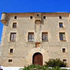
Mas Pontons
2.5 km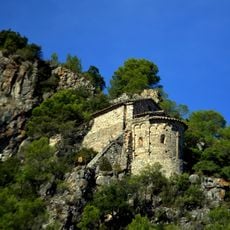
Sant Joan de la Muntanya de Pontons
1.2 km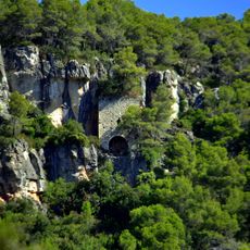
Sant Salvador
1.4 km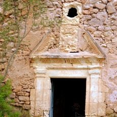
Ermita de Foix
3.7 km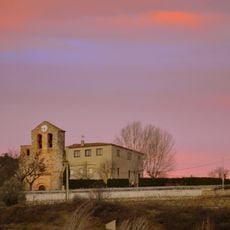
Església de Santa Magdalena de Pontons
112 m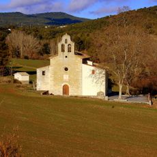
Santa Maria de Valldossera
4.2 km
Clapí Vell
3.9 km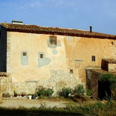
Can Soler de Roset
2 km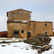
Can Guixó
1.8 km
Torres Altes de Foix
2.3 km
Cal Xamanet
1.7 km
Torre de Cal Rei
1.5 km
Torre dels Galls Carnuts
4 km
La Mercè de Pontons
293 m
El Mas de la Riera
2.3 km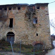
Molí de Dalt
154 m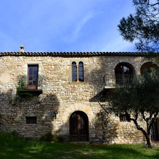
Casa Gran
4.2 km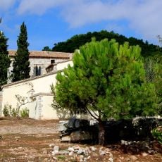
Els Sobals
1.2 km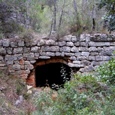
Els Molinots
2.5 km
Torre de Can Pepó
2.4 km
Les Solanes
2.4 km
Cal Tonquet
3.1 km
Molí de Baix
890 m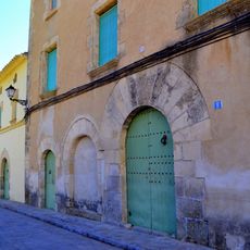
Ca la Senyora
237 m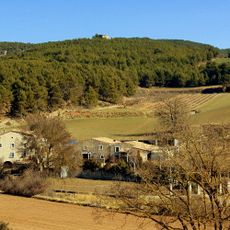
El Molinet de Valldossera
4.3 km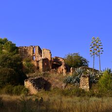
La Torrica
3.7 km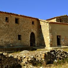
Mas Gener
4.2 kmReviews
Visited this place? Tap the stars to rate it and share your experience / photos with the community! Try now! You can cancel it anytime.
Discover hidden gems everywhere you go!
From secret cafés to breathtaking viewpoints, skip the crowded tourist spots and find places that match your style. Our app makes it easy with voice search, smart filtering, route optimization, and insider tips from travelers worldwide. Download now for the complete mobile experience.

A unique approach to discovering new places❞
— Le Figaro
All the places worth exploring❞
— France Info
A tailor-made excursion in just a few clicks❞
— 20 Minutes