
Santa Oliva, municipality of Spain
Location: Baix Penedès
Capital city: Santa Oliva
Elevation above the sea: 101 m
Part of: L'Albornar
Shares border with: El Vendrell, La Bisbal del Penedès, Banyeres del Penedès, Albinyana, Bellvei
Website: https://santaoliva.cat
GPS coordinates: 41.25335,1.55224
Latest update: March 5, 2025 07:44
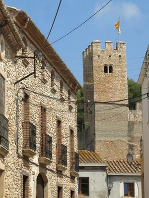
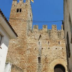
Castell de Santa Oliva
230 m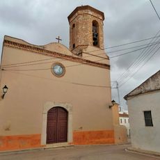
Església del Sagrat Cor de les Peces
4.3 km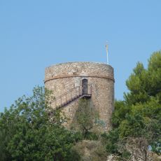
Torre del Botafoc
3.8 km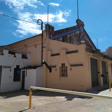
Sindicat Cooperatiu
3.6 km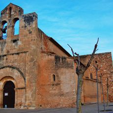
Santa Maria de Santa Oliva
566 m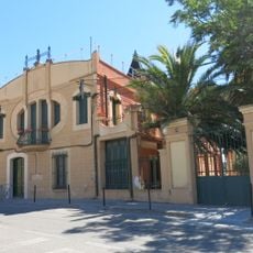
El Molí de Vent
3.2 km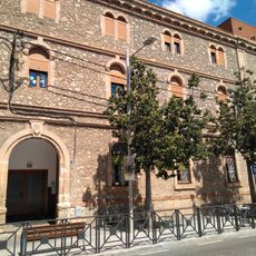
Col·legi Sagrat Cor
3.5 km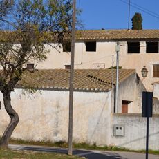
Mas Canyís
2.2 km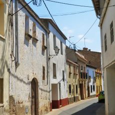
Centre històric de Santa Oliva
160 m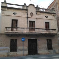
Ca l'Amadeo
3.6 km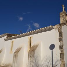
Sant Miquel de Banyeres del Penedès
1.9 km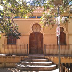
Category:Caseta de Ca la Miquela
3.5 km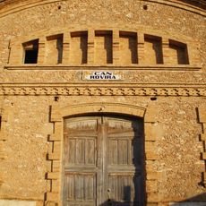
Can Rovira (Santa Oliva)
2.9 km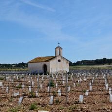
Sant Roc de Banyeres del Penedès
1.2 km
Cal Mata
3.1 km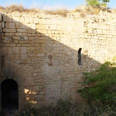
Molí Alt de Santa Oliva
2.6 km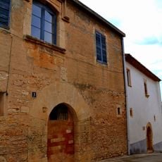
Cal Garriga
1.1 km
Sant Pere de Saifores
1.2 km
Torre d'en Serra
3.2 km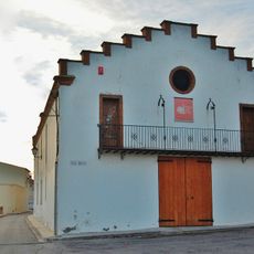
Celler Nou de Cal Mata
1.2 km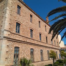
Hospital de Sant Salvador
3.3 km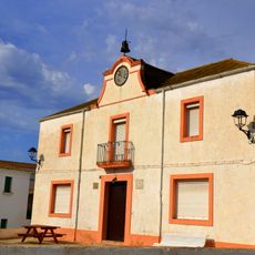
Les Escoles
1.2 km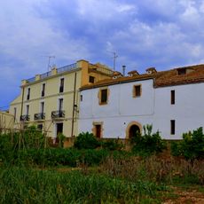
Casa Nova de Cal Mata
1.2 km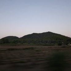
Les Torretes
3.6 km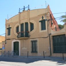
Casa Larrianaga
3.2 km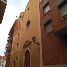
Capella de Fàtima del Vendrell
3.7 km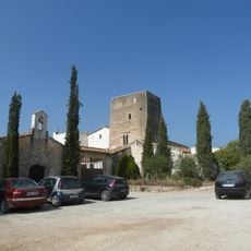
La Casa Murada
3 km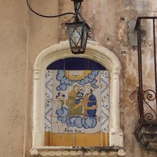
Fornícula de Santa Anna
3.7 kmVisited this place? Tap the stars to rate it and share your experience / photos with the community! Try now! You can cancel it anytime.
Discover hidden gems everywhere you go!
From secret cafés to breathtaking viewpoints, skip the crowded tourist spots and find places that match your style. Our app makes it easy with voice search, smart filtering, route optimization, and insider tips from travelers worldwide. Download now for the complete mobile experience.

A unique approach to discovering new places❞
— Le Figaro
All the places worth exploring❞
— France Info
A tailor-made excursion in just a few clicks❞
— 20 Minutes