
Vila-sacra, municipality of Spain
Location: Alt Empordà
Elevation above the sea: 16 m
Shares border with: Figueres, Peralada, Fortià, El Far d'Empordà
Website: http://vila-sacra.cat
GPS coordinates: 42.26681,3.01704
Latest update: March 8, 2025 09:00
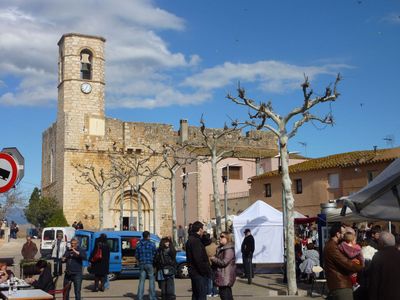
Santa Eulàlia
2.6 km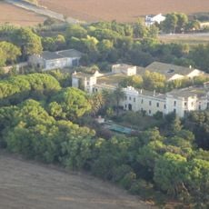
Granja-Escola de Fortianell
2.8 km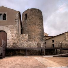
Castell de Vila-sacra
114 m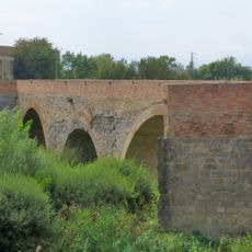
Pont Vell
4.4 km
Sant Martí del Far
2.4 km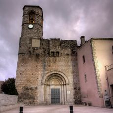
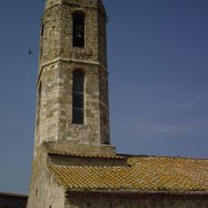
Sant Esteve
131 m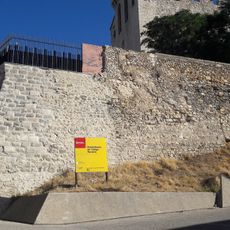
Castell del Far d'Empordà
2.4 km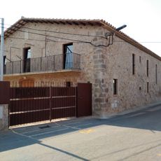
Mas Eres
3.3 km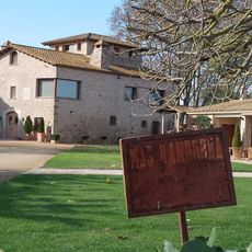
Mas d'en Dorra
3.8 km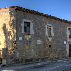
Casa de la Reina Sibil·la
3.1 km
Asil Duran
4.3 km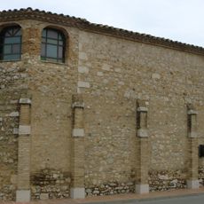
Sant Antoni de Vilatenim
1.9 km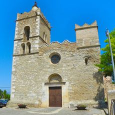
Sant Julià i Santa Basilissa de Fortià
3.4 km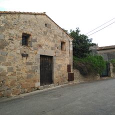
Casa del Delme
3.4 km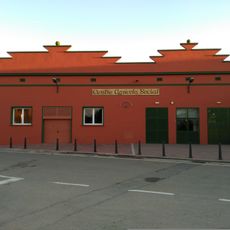
Centre Agrícola i Social de Fortià
3.2 km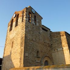
Sant Joan de Vilatenim
1.9 km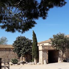
Can Via
3.4 km
Casa de la Vila de Fortià
3.3 km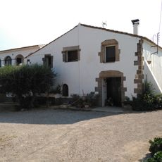
Can Borrassana
3.3 km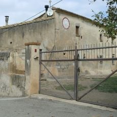
Casa a Palol de Vilatenim (Figueres)
567 m
House in carrer del Centre, 2
2.4 km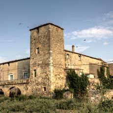
Mas de les Torres
2.7 km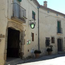
Can Queló
3.4 km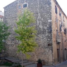
House in plaça Major
2.4 km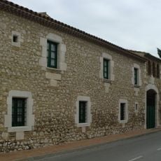
Casa Avinyó
1.9 km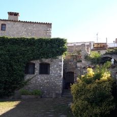
Restaurant les Quadres
2.4 km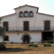
Ca l'Amorós
3.2 km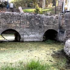
Murs medievals a Vilanova de la Muga
2.5 kmVisited this place? Tap the stars to rate it and share your experience / photos with the community! Try now! You can cancel it anytime.
Discover hidden gems everywhere you go!
From secret cafés to breathtaking viewpoints, skip the crowded tourist spots and find places that match your style. Our app makes it easy with voice search, smart filtering, route optimization, and insider tips from travelers worldwide. Download now for the complete mobile experience.

A unique approach to discovering new places❞
— Le Figaro
All the places worth exploring❞
— France Info
A tailor-made excursion in just a few clicks❞
— 20 Minutes