
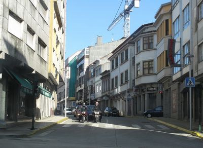
Ordes, municipality in the province of A Coruña, Galicia, Spain
Location: A Coruña Province
Elevation above the sea: 292 m
Part of: Mancomunidade de Municipios da Comarca de Ordes
Shares border with: Oroso, Tordoia, Cerceda, Carral, Mesía, Abegondo, Frades
Website: http://ordes.gal
GPS coordinates: 43.07667,-8.40722
Latest update: March 4, 2025 06:35

Dolmen de Cabaleiros
11.9 km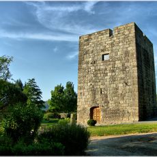
Tower of Celas de Peiro
19.2 km
Castle of Mesía
14.1 km
Pazo de Mariñas
12.6 km
Castro de Cerneda
18 km
Castro Maior
12.5 km
Castro das Travesas
10.6 km
Castro de Montouto
16.3 km
Pazo de Fontelo
11.8 km
Monastery of Soandres
18.2 km
Sigüeiro Bridge
12.7 km
Castro de Vizoño
11.4 km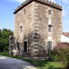
Tower of Figueiroa
17.5 km
Casa consistorial de Carral
17.4 km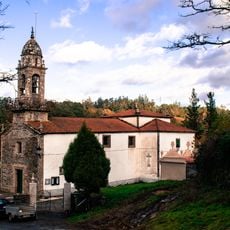
Church of Santa María de Gonzar, O Pino
16 km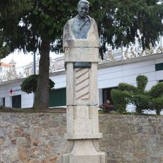
Monument to Vicente Carnota
120 m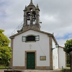
Church of Saint Christine
14.9 km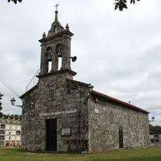
Church of Saint Vicent, Marantes
14.1 km
Church of San Xiao de Lardeiros
13.1 km
Biblioteca Pública Municipal de Carral
17.3 km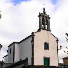
Church of San Vicenzo do Pino
16.6 km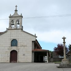
Chapel of Santo André do Mesón do Vento
8.5 km
Biblioteca Pública Municipal de Abegondo
19.3 km
Biblioteca Pública Municipal de Ordes
74 m
Biblioteca Pública Municipal de Oroso
12.3 km
Chapel of Our Lady of Sorrows, Agualada
16.3 km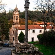
Wayside cross in Gonzar
16 km
Casa consistorial de Órdenes
40 mReviews
Visited this place? Tap the stars to rate it and share your experience / photos with the community! Try now! You can cancel it anytime.
Discover hidden gems everywhere you go!
From secret cafés to breathtaking viewpoints, skip the crowded tourist spots and find places that match your style. Our app makes it easy with voice search, smart filtering, route optimization, and insider tips from travelers worldwide. Download now for the complete mobile experience.

A unique approach to discovering new places❞
— Le Figaro
All the places worth exploring❞
— France Info
A tailor-made excursion in just a few clicks❞
— 20 Minutes