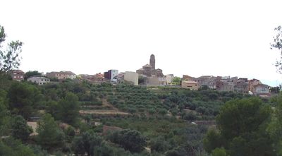
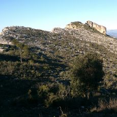
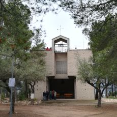
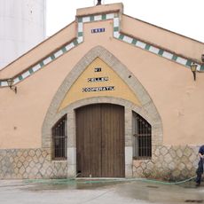
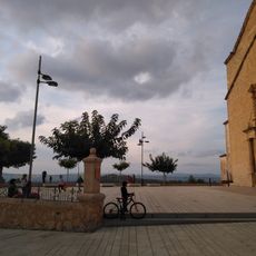
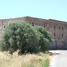
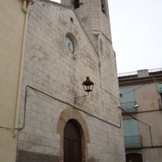
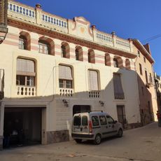
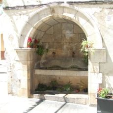
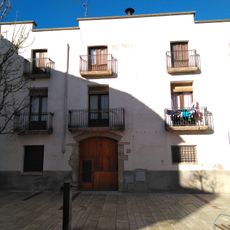
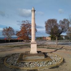
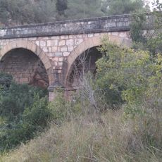
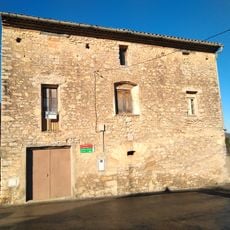
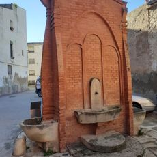
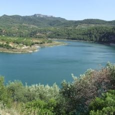
Els Guiamets, municipality of Spain
Location: Priorat
Elevation above the sea: 226 m
Website: http://www.guiamets.altanet.org/
Shares border with: El Masroig, Marçà, Capçanes, Tivissa, Garcia
Website: http://guiamets.altanet.org
GPS coordinates: 41.10149,0.75250
Latest update: March 10, 2025 18:43
Pantà dels Guiamets
308 m
Montalt punta sud
6 km
Rock paintings of Capçanes
4.7 km
Sant Jaume de Tivissa
6.7 km
Mare de Déu de les Pinyeres
5.1 km
Ermita de Sant Pau
6.5 km
Celler i Cooperativa
3.2 km
La Baranova
6.7 km
Convent de Sant Marçal
5.3 km
Sant Domènec de la Serra d'Almos
2.5 km
Sant Lluís dels Guiamets
61 m
Cal Bessó
124 m
Cal Montagut
5 km
Santa Maria de Marçà
4.9 km
La Nativitat de Maria de Capçanes
2.4 km
Església de Sant Miquel de Darmós
4.1 km
Font pública de Capçanes
2.5 km
Abadia
6.7 km
Creu de terme de la carretera de Móra la Nova
6.3 km
Plaça dels Vells
84 m
Abeurador
6.6 km
Pont de l'Auliva
5.3 km
Hospital (Tivissa)
6.7 km
Casa davant l'abeurador
6.6 km
Font de la plaça de Pau Castellví
96 m
Presa dels Guiamet
310 m
Ajuntament dels Guiamets
60 m
Caseta de la Vall
5.7 kmReviews
Visited this place? Tap the stars to rate it and share your experience / photos with the community! Try now! You can cancel it anytime.
Discover hidden gems everywhere you go!
From secret cafés to breathtaking viewpoints, skip the crowded tourist spots and find places that match your style. Our app makes it easy with voice search, smart filtering, route optimization, and insider tips from travelers worldwide. Download now for the complete mobile experience.
A unique approach to discovering new places❞
— Le Figaro
All the places worth exploring❞
— France Info
A tailor-made excursion in just a few clicks❞
— 20 Minutes