
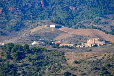
El Lloar, municipality of Spain
Location: Priorat
Elevation above the sea: 219 m
Website: http://www.lloar.altanet.org
Shares border with: La Vilella Baixa, Gratallops, El Molar, La Figuera
Website: http://lloar.altanet.org
GPS coordinates: 41.18634,0.75044
Latest update: March 18, 2025 14:36
Mines de Bellmunt del Priorat
2.8 km
Mare de Déu de la Consolació de Gratallops
3.4 km
Mas del Roger
6.2 km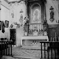
Mare de Déu de les Pinyeres
5 km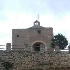
Sant Pau de la Figuera
4.6 km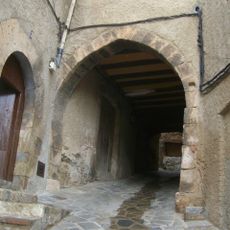
Carrer que no passa
3.9 km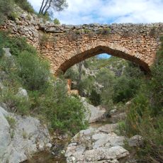
Pont de Cavaloca
5.1 km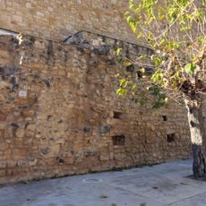
Castell de Cabacés
6.9 km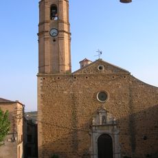
Sant Llorenç de Gratallops
2.3 km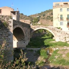
Els Ponts
3.8 km
Mina Raimunda
3.7 km
Sant Joan Baptista de la Vilella Baixa
3.9 km
Sant Martí de la Figuera
3.7 km
Centre històric de Cabacés
6.9 km
Cal Pinyol
119 m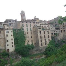
Les façanes del riu
3.9 km
Sant Roc del Molar
4.5 km
Els rentadors i font
4.8 km
Arc Moro
108 m
Cal Gabriel
3.9 km
Ca l'Andreu
2.3 km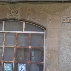
Cal Ferrer
2.3 km
Cal Juncosa
4 km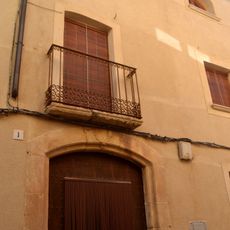
Ca l'Adelaida
3.7 km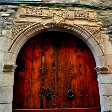
Antiga Casa de la Cartoixa
2.4 km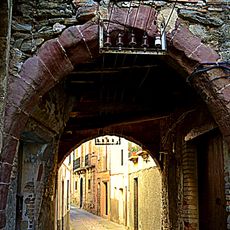
Perxe del carrer Major
2.4 km
House in carrer Major, 19
150 m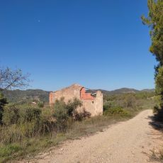
Mas del Romuald
6.1 kmReviews
Visited this place? Tap the stars to rate it and share your experience / photos with the community! Try now! You can cancel it anytime.
Discover hidden gems everywhere you go!
From secret cafés to breathtaking viewpoints, skip the crowded tourist spots and find places that match your style. Our app makes it easy with voice search, smart filtering, route optimization, and insider tips from travelers worldwide. Download now for the complete mobile experience.

A unique approach to discovering new places❞
— Le Figaro
All the places worth exploring❞
— France Info
A tailor-made excursion in just a few clicks❞
— 20 Minutes