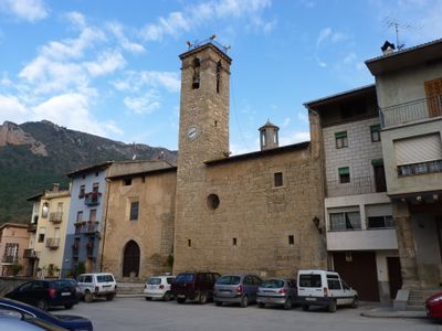
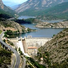
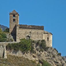
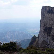
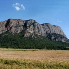
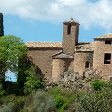
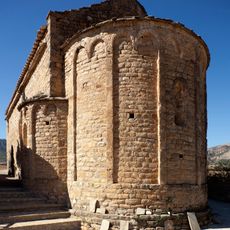
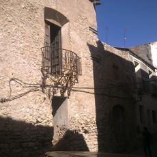
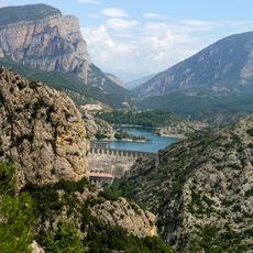
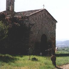
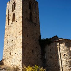
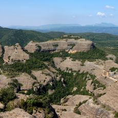
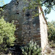
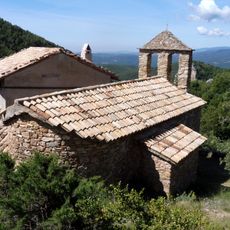
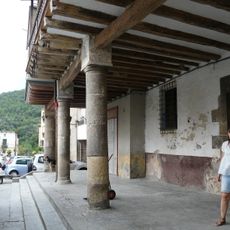
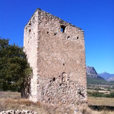
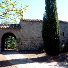
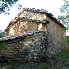
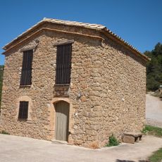
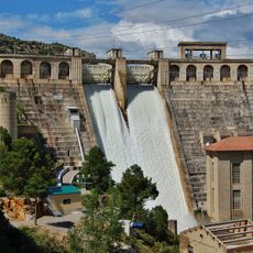
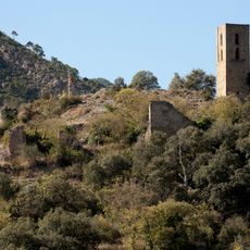
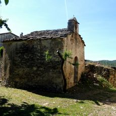
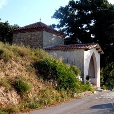
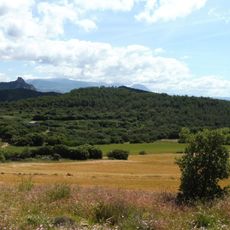
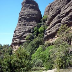
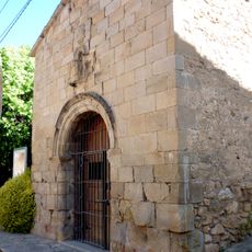
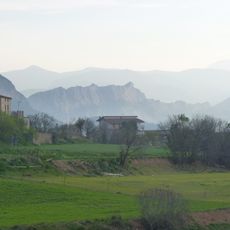
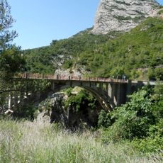
Peramola, municipality in the comarca of the Alt Urgell in Catalonia, Spain
Location: Alt Urgell
Elevation above the sea: 566 m
Shares border with: Coll de Nargó, Oliana, Bassella, La Baronia de Rialb
Website: http://peramola.cat
GPS coordinates: 42.05780,1.26735
Latest update: March 6, 2025 14:49
Oliana Reservoir
5.2 km
Mare de Déu de Castell-llebre
3.6 km
El Coscollet
6.3 km
Roc de Rumbau
2.5 km
Sant Salvador del Corb
2.1 km
Sant Esteve de Pallerols de Rialb
4.9 km
Santa Llúcia de Tragó
2.5 km
Castell de Peramola
30 m
Grau d'Oliana
4.1 km
Sant Miquel de Peramola Vell
180 m
Sant Andreu del Castell d'Oliana
4.1 km
Roca del Corb
2.3 km
Sant Marc de Pallerols
3.9 km
Sant Martí de Cortiuda
4.4 km
Cal Ribó
63 m
Casa forta de Peramola
596 m
Sant Jaume de Graell
3.6 km
Sant Gil del Mas d'Eroles
6.7 km
Escola de Pallerols de Rialb
4.9 km
Oliana Dam
4.4 km
Castell d'Oliana
4.1 km
El Roser de la Móra de Cortiuda
3.1 km
El Roser de Peramola
322 m
Tossal de Cortiuda
4.1 km
Agulla del Corb
2.1 km
Capella del Sant Nom de Jesús
3.9 km
Roc de les Tres Creus
5.1 km
Pont d'Oliana a la C-14
3.8 kmReviews
Visited this place? Tap the stars to rate it and share your experience / photos with the community! Try now! You can cancel it anytime.
Discover hidden gems everywhere you go!
From secret cafés to breathtaking viewpoints, skip the crowded tourist spots and find places that match your style. Our app makes it easy with voice search, smart filtering, route optimization, and insider tips from travelers worldwide. Download now for the complete mobile experience.
A unique approach to discovering new places❞
— Le Figaro
All the places worth exploring❞
— France Info
A tailor-made excursion in just a few clicks❞
— 20 Minutes