
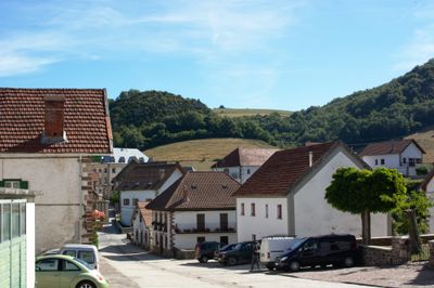
Garralda, human settlement in Spain
Location: Navarre
Location: Pirinioak
Location: Merindade of Sangüesa
Capital city: Garralda
Elevation above the sea: 846 m
Part of: Mancomunitat de Residus Sòlids «Bidausi», Mancomunidad de Servicios Bibliotecarios Berragu, Mancomunitat de Serveis Socials «Auñamendi», Basque-speaking zone of Navarre
Shares border with: Auritz-Burguete, Arce/Artzi, Oroz-Betelu/Orotz-Betelu, Garaioa, Aribe, Aria, Orbaizeta
GPS coordinates: 42.95947,-1.30474
Latest update: April 7, 2025 05:40
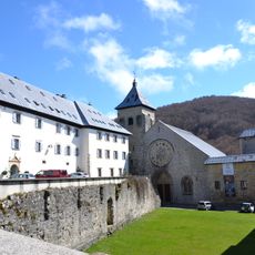
Colegiata de Santa María
5.7 km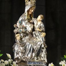
Santa María de Roncesvalles
5.7 km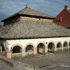
Silo de Carlomagno
5.6 km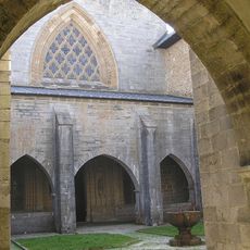
Capilla de San Agustín
5.7 km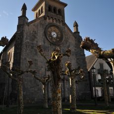
Iglesia San Nicolas de Bari
4.1 km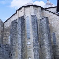
Crypt of church of Santa María de Roncesvalles
5.7 km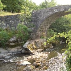
Puente Arrobi
3.3 km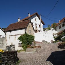
Casa Domench
3.9 km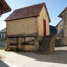
Casa Elizondo
6.3 km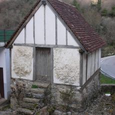
Casa Jabat
5.3 km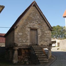
Casa Reca
6.2 km
Casa Etxeberri
3.2 km
Casa Masamiguel
1.9 km
Casa Apat
5.3 km
Casa Maisterra
6.1 km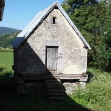
Casa Jauki
6.1 km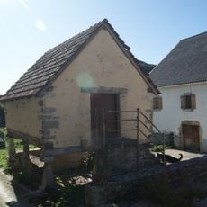
Casa Portal
6.2 km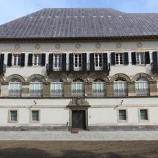
Biblioteca y Museo
5.7 km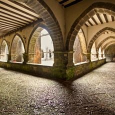
Cloister of Roncesvalles
5.7 km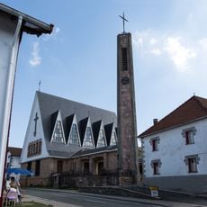
Iglesia parroquial de San Bartolomé
5.7 km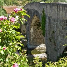
Aribeko zubi erromanikoa
4 km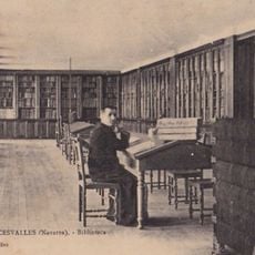
Orreagako kolegiatako liburutegia
5.7 km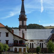
Done Ibane Ebanxelariko eliza
1.9 km
Itzandegia
5.6 km
Zamariaingo begiratokia
4.3 km
Casa Jamar
3.2 km
Done Erromango eliza
5.2 km
Pausandiko zubia
5 kmReviews
Visited this place? Tap the stars to rate it and share your experience / photos with the community! Try now! You can cancel it anytime.
Discover hidden gems everywhere you go!
From secret cafés to breathtaking viewpoints, skip the crowded tourist spots and find places that match your style. Our app makes it easy with voice search, smart filtering, route optimization, and insider tips from travelers worldwide. Download now for the complete mobile experience.

A unique approach to discovering new places❞
— Le Figaro
All the places worth exploring❞
— France Info
A tailor-made excursion in just a few clicks❞
— 20 Minutes